
1959 Map of Tortolita Mts
USGS Topo · Published 1960About this map
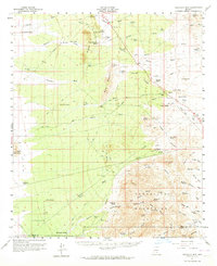
Cross Triangle Ranch and a network of family-held properties define this arid landscape at the border of Pinal and Pima Counties. The terrain is marked by the prominence of the Tortolita Mountains and Owl Head Buttes, which channeled early settlement into the surrounding valleys. Ranching life is evident through numerous named holdings such as Forman Ranch, Goodman Ranch, and Barriles Ranch, all reliant on the system of wells and windmills like Sampson Well and Riddle Windmill that punctuated the desert floor.
Find a feature on this map
79 named features on this map. Tap any name to fly to it.
Don’t see what you’re looking for? This feature index may not catch every label — zoom into the map to look around manually.
Map Details
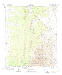
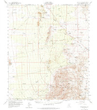
Editions of this 1959 Tortolita Mts Map
4 editions found
Other maps of this area

1904 · Tucson
USGS Topo · 1:125,000

1905 · Tucson
USGS Topo · 1:125,000

1911 · Winkelman
USGS Topo · 1:125,000

1913 · Winkelman
USGS Topo · 1:125,000

1922 · Red Rock No 2
USGS Topo · 1:48,000

1934 · Tucson Mountains
USGS Topo · 1:125,000

1934 · Newman Peak
USGS Topo · 1:125,000

1947 · Cortaro
USGS Topo · 1:62,500

1947 · Red Rock
USGS Topo · 1:62,500

1949 · Winkelman
USGS Topo · 1:62,500