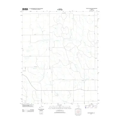
2012 Map of Totty School
USGS Topo · Published 2012About this map
Totty School stands as a focal point in this portion of Gray County, representing the rural social and educational fabric of the Texas Panhandle. The landscape is defined by the headwaters and drainage patterns of several seasonal waterways, including Sweetwater Cr, Graham Cr, and Cowboy Cr. These creeks weave through a terrain dominated by ranching interests, as evidenced by a grid of local infrastructure such as Ranch Road 1268 and Ranch Road 119. The map documents a classic High Plains settlement pattern where wide-open spaces are connected by family-named routes like Hodges Rd and Hoffer Rd, reflecting the generational land use that defines this region. The lack of dense urbanization underscores the area's continued reliance on pastoral and agricultural activities into the early twenty-first century.
Find a feature on this map
27 named features on this map. Tap any name to fly to it.
Don’t see what you’re looking for? This feature index may not catch every label — zoom into the map to look around manually.
Map Details
Editions of this 2012 Totty School Map
This is the sole edition of this map. No revisions or reprints were ever made.
Other maps of this area

1954 · Amarillo
USGS Topo · 1:250,000

1958 · Amarillo
USGS Topo · 1:250,000

1962 · Pond Creek
USGS Topo · 1:24,000

1962 · Spring Creek
USGS Topo · 1:24,000

1962 · Pond Creek NW
USGS Topo · 1:24,000

1963 · Mobeetie
USGS Topo · 1:24,000

1966 · Laketon
USGS Topo · 1:24,000

1967 · Young Ranch
USGS Topo · 1:24,000

1967 · Tody School
USGS Topo · 1:24,000

1967 · Lora
USGS Topo · 1:24,000