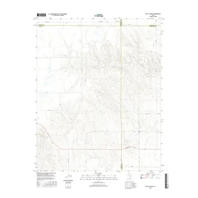
2016 Map of Totty School
USGS Topo · Published 2016About this map
Totty School stands as a central point of interest in this rural landscape where the High Plains drop into the drainage basins of the eastern Panhandle. Located near the intersection of several county boundaries, the terrain is defined by the erosion patterns of Sweetwater Cr, Graham Cr, and Cowboy Creek. These seasonal watercourses carve deep relief into the cattle country of the Texas Panhandle, creating a complex network of draws and ridges. The map illustrates a transitional zone where the flat, gridded ranch lands of Gray County meet the more broken terrain of Wheeler County and Hemphill County. The infrastructure consists primarily of traditional ranching access, with routes like Ranch Rd 1268 and W Oklahoma Ave providing the primary east-west connectivity through this sparsely populated territory.
Find a feature on this map
25 named features on this map. Tap any name to fly to it.
Don’t see what you’re looking for? This feature index may not catch every label — zoom into the map to look around manually.
Map Details
Editions of this 2016 Totty School Map
This is the sole edition of this map. No revisions or reprints were ever made.
Other maps of this area

1954 · Amarillo
USGS Topo · 1:250,000

1958 · Amarillo
USGS Topo · 1:250,000

1962 · Pond Creek
USGS Topo · 1:24,000

1962 · Spring Creek
USGS Topo · 1:24,000

1962 · Pond Creek NW
USGS Topo · 1:24,000

1963 · Mobeetie
USGS Topo · 1:24,000

1966 · Laketon
USGS Topo · 1:24,000

1967 · Young Ranch
USGS Topo · 1:24,000

1967 · Tody School
USGS Topo · 1:24,000

1967 · Lora
USGS Topo · 1:24,000