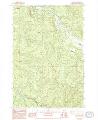
1984 Map of Toutle Mtn.
USGS Topo · Published 1994About this map
The North Fork Toutle River and the South Fork Toutle River define the sharp, deeply incised drainages of the Toutle Mountain Range in this 1980s landscape. This survey, based on aerial photographs taken shortly after the 1980 eruption of Mount St. Helens, documents the region's topography during a critical period of geographic change. Small settlements like Kid Valley and Maple Flat are situated along the northern watercourses, while the high elevations are dominated by Toutle Mtn and Signal Peak. The abundance of Borrow Pits and Quarries throughout the mountains suggests an era of significant earth-moving activity and infrastructure maintenance. Of particular note is the Alder Creek Rearing Pond, reflecting the area's focus on fisheries along the Alder Creek and the Green River corridors.
Find a feature on this map
20 named features on this map. Tap any name to fly to it.
Don’t see what you’re looking for? This feature index may not catch every label — zoom into the map to look around manually.
Map Details
Editions of this 1984 Toutle Mtn. Map
2 editions found
Other maps of this area

1919 · Mount St Helens
USGS Topo · 1:125,000

1942 · Toutle
USGS Topo · 1:62,500

1943 · Pigeon Springs
USGS Topo · 1:62,500

1953 · Hoquiam
USGS Topo · 1:250,000

1953 · Toutle
USGS Topo · 1:62,500

1953 · Pigeon Springs
USGS Topo · 1:62,500

1953 · Cougar
USGS Topo · 1:62,500

1953 · Elk Rock
USGS Topo · 1:62,500

1957 · Hoquiam
USGS Topo · 1:250,000

1958 · Hoquiam
USGS Topo · 1:250,000