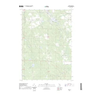
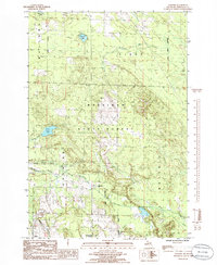
2023 Map of Tower
USGS Topo · Published 2023About this map
The Black River winds through this northern Michigan landscape, where the small community of Tower serves as a central point of settlement. The geography is defined by a series of impoundments and natural water features, including Tower Pond and Kleber Pond, which sit just north of the village. For those tracing local heritage, Forest Lawn Cem is situated near the river's bend, while the surrounding terrain is marked by family-named landmarks and distinct topographical features like Huckleberry Hollow and Martins Grove.
Find a feature on this map
110 named features on this map. Tap any name to fly to it.
Don’t see what you’re looking for? This feature index may not catch every label — zoom into the map to look around manually.
Map Details
Editions of this 2023 Tower Map
This is the sole edition of this map. No revisions or reprints were ever made.
Other maps of this area
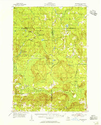
1954 · Hetherton
USGS Topo · 1:62,500
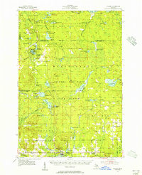
1955 · Atlanta
USGS Topo · 1:62,500

1955 · Cheboygan
USGS Topo · 1:250,000
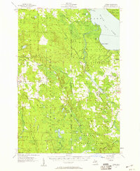
1957 · Tower
USGS Topo · 1:62,500
1957 · Onaway
USGS Topo · 1:62,500

1958 · Cheboygan
USGS Topo · 1:250,000
1982 · Petoskey
USGS Topo · 1:100,000
1986 · Onaway
USGS Topo · 1:24,000
1986 · Silver Lake
USGS Topo · 1:24,000
1986 · Legrand
USGS Topo · 1:24,000