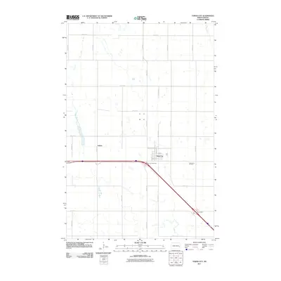
2011 Map of Tower City
USGS Topo · Published 2011About this map
Tower City serves as the focal point of this Eastern North Dakota landscape, situated along the diagonal path of the interstate and its accompanying rail lines. The town’s grid is clearly defined by residential streets such as Maine St, Church St, and Broadway St, reflecting a classic prairie settlement pattern. To the east, Greenwood Cemetery stands as a significant site for genealogical research, while the small community of Koldok is noted along the rail line to the west.
Find a feature on this map
28 named features on this map. Tap any name to fly to it.
Don’t see what you’re looking for? This feature index may not catch every label — zoom into the map to look around manually.
Map Details
Editions of this 2011 Tower City Map
This is the sole edition of this map. No revisions or reprints were ever made.
Other maps of this area

1897 · Tower
USGS Topo · 1:125,000

1952 · Grand Forks
USGS Topo · 1:250,000

1953 · Fargo
USGS Topo · 1:250,000

1956 · Fargo
USGS Topo · 1:250,000

1956 · Grand Forks
USGS Topo · 1:250,000

1965 · Alice
USGS Topo · 1:24,000

1965 · Tower City SW
USGS Topo · 1:24,000

1966 · Grand Forks
USGS Topo · 1:250,000

1967 · Tower City
USGS Topo · 1:24,000

1967 · Pillsbury SE
USGS Topo · 1:24,000