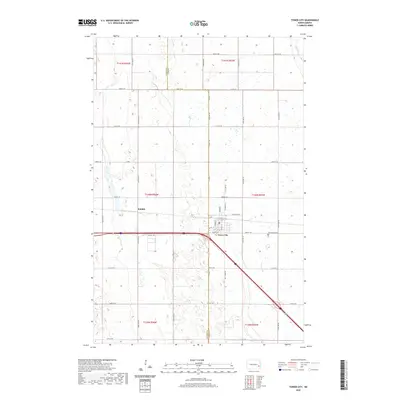
2020 Map of Tower City
USGS Topo · Published 2020About this map
Tower City serves as the primary hub of this eastern North Dakota landscape, situated along a prominent transportation corridor where local streets like Michigan Ave and Maiden Ln define the town's grid. The surrounding terrain is characterized by a high concentration of prairie wetlands and small water bodies, reflecting the glacial history of the Red River Valley region. To the east, Greenwood Cem stands as a focal point for genealogical research, while the winding course of the Maple River clips the northeastern corner of the survey. The settlement of Koldok appears to the west, linked to the main township by a network of rural section-line roads. This land-use pattern, defined by the Barnes Co Cass Co boundary, illustrates the enduring transition from open prairie to the structured agricultural townships of the 21st century.
Find a feature on this map
24 named features on this map. Tap any name to fly to it.
Don’t see what you’re looking for? This feature index may not catch every label — zoom into the map to look around manually.
Map Details
Editions of this 2020 Tower City Map
This is the sole edition of this map. No revisions or reprints were ever made.
Other maps of this area

1897 · Tower
USGS Topo · 1:125,000

1952 · Grand Forks
USGS Topo · 1:250,000

1953 · Fargo
USGS Topo · 1:250,000

1956 · Fargo
USGS Topo · 1:250,000

1956 · Grand Forks
USGS Topo · 1:250,000

1965 · Alice
USGS Topo · 1:24,000

1965 · Tower City SW
USGS Topo · 1:24,000

1966 · Grand Forks
USGS Topo · 1:250,000

1967 · Tower City
USGS Topo · 1:24,000

1967 · Pillsbury SE
USGS Topo · 1:24,000