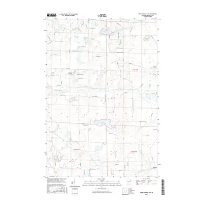
2015 Map of Town Corner Lake
USGS Topo · Published 2015About this map
Town Corner Lake sits at the heart of this Northwoods landscape, where the hydrography of Marinette County is defined by a dense network of glacial lakes and river systems. The North Branch Pike River and the South Branch Pike River wind through the terrain, punctuated by features like Bull Falls and Chipmunk Rapids. This 2015 survey illustrates a region largely shaped by its water and woods, showing the academic presence of Northland International University alongside recreational and small-scale infrastructure like the Red Roof Airport. In the southeast corner, the settlement of Amberg appears along the river, while the northern reaches are dotted with named bodies of water such as Lindquist Lake, Lundgren Lake, and Minnie Lake. The road network, including Holmes Junction Road and Pembine Beecher Road, reflects the local connectivity between timberlands and lakeside communities.
Find a feature on this map
114 named features on this map. Tap any name to fly to it.
Don’t see what you’re looking for? This feature index may not catch every label — zoom into the map to look around manually.
Map Details
Editions of this 2015 Town Corner Lake Map
This is the sole edition of this map. No revisions or reprints were ever made.
Other maps of this area

1939 · Pembine
USGS Topo · 1:48,000

1939 · Dunbar
USGS Topo · 1:48,000

1940 · Athelstane
USGS Topo · 1:48,000

1941 · Dunbar
USGS Topo · 1:48,000

1942 · Athelstane
USGS Topo · 1:48,000

1942 · Wausaukee
USGS Topo · 1:48,000

1947 · Pembine
USGS Topo · 1:48,000

1947 · Dunbar
USGS Topo · 1:48,000

1947 · Wausaukee
USGS Topo · 1:48,000

1954 · Iron Mountain
USGS Topo · 1:250,000