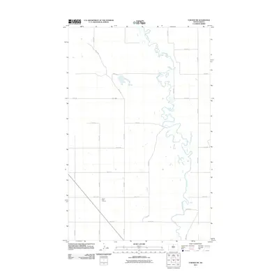
2011 Map of Towner NW
USGS Topo · Published 2011About this map
The Souris River meanders sharply through the north-central North Dakota landscape in this 2011 survey of McHenry County. The terrain is dominated by a systematic grid of section roads including Willow Rd and 5th Ave NE, illustrating the persistent agrarian structure of the region. A significant landmark for genealogical research is the Mouse River Cemetery, located near the intersection of 5th Ave NE and 68th St NE. The map captures the intricate oxbow loops and wetlands of the river valley, which stand in contrast to the surrounding plateau. This document provides a record of the local infrastructure and the natural course of the water before subsequent environmental or agricultural shifts.
Find a feature on this map
17 named features on this map. Tap any name to fly to it.
Don’t see what you’re looking for? This feature index may not catch every label — zoom into the map to look around manually.
Map Details
Editions of this 2011 Towner NW Map
This is the sole edition of this map. No revisions or reprints were ever made.
Other maps of this area

1949 · Denbigh
USGS Topo · 1:24,000

1949 · Bantry
USGS Topo · 1:24,000

1950 · Towner NW
USGS Topo · 1:24,000

1950 · Upham SE
USGS Topo · 1:24,000

1950 · Towner
USGS Topo · 1:24,000

1950 · Willow City SW
USGS Topo · 1:24,000

1950 · Denbigh
USGS Topo · 1:24,000

1950 · Bantry
USGS Topo · 1:24,000

1954 · Towner NE
USGS Topo · 1:24,000

1954 · Willow City
USGS Topo · 1:24,000