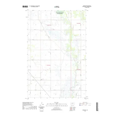
2020 Map of Towner NW
USGS Topo · Published 2020About this map
The J Clark Salyer National Wildlife Refuge dominates the northern reaches of this landscape, protecting the meandering course of the Souris River. This river corridor defines the regional character, winding through a complex system of wetlands and prairie potholes that characterize this portion of McHenry County. The human footprint is marked by a precise grid of section-line roads, including 73rd St NE and Willow Rd, which facilitate agricultural access across the flat terrain. For local historians and genealogists, the map preserves the location of the Mouse River Cem near the intersection of 68th St NE and 5th Ave NE, providing a vital touchstone for tracing family roots in this rural community. The interplay between the protected river environment and the surrounding prairie agriculture remains the defining feature of the area.
Find a feature on this map
22 named features on this map. Tap any name to fly to it.
Don’t see what you’re looking for? This feature index may not catch every label — zoom into the map to look around manually.
Map Details
Editions of this 2020 Towner NW Map
This is the sole edition of this map. No revisions or reprints were ever made.
Other maps of this area

1949 · Denbigh
USGS Topo · 1:24,000

1949 · Bantry
USGS Topo · 1:24,000

1950 · Towner NW
USGS Topo · 1:24,000

1950 · Upham SE
USGS Topo · 1:24,000

1950 · Towner
USGS Topo · 1:24,000

1950 · Willow City SW
USGS Topo · 1:24,000

1950 · Denbigh
USGS Topo · 1:24,000

1950 · Bantry
USGS Topo · 1:24,000

1954 · Towner NE
USGS Topo · 1:24,000

1954 · Willow City
USGS Topo · 1:24,000