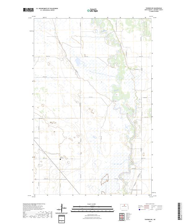
2024 Map of Towner NW
USGS Topo · Published 2024About this map
The Souris River meanders through this portion of McHenry County, creating a distinct riparian corridor amidst the surrounding agricultural grid. Within these wetlands and oxbows, the J. Clark Salyer National Wildlife Refuge preserves the natural state of the river valley as it transitions across the North Dakota plains. The survey highlights a landscape organized by a strict section-line road network, including thoroughfares like Willow Rd and Willow Hwy. Genealogists and local historians will find the Mouse River Cem situated near the intersection of 68th St NE and 5th Ave NE, serving as a silent anchor for the rural community. The map illustrates the persistence of small-scale prairie infrastructure, where long stretches of gravel roads like 9th Ave NE connect isolated homesteads and farmland across the townships of t158n r75w and t157n r75w.
Find a feature on this map
26 named features on this map. Tap any name to fly to it.
Don’t see what you’re looking for? This feature index may not catch every label — zoom into the map to look around manually.
Map Details
Editions of this 2024 Towner NW Map
This is the sole edition of this map. No revisions or reprints were ever made.
Other maps of this area

1949 · Denbigh
USGS Topo · 1:24,000

1949 · Bantry
USGS Topo · 1:24,000

1950 · Towner NW
USGS Topo · 1:24,000

1950 · Upham SE
USGS Topo · 1:24,000

1950 · Towner
USGS Topo · 1:24,000

1950 · Willow City SW
USGS Topo · 1:24,000

1950 · Denbigh
USGS Topo · 1:24,000

1950 · Bantry
USGS Topo · 1:24,000

1954 · Towner NE
USGS Topo · 1:24,000

1954 · Willow City
USGS Topo · 1:24,000