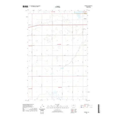
2020 Map of Towner SE
USGS Topo · Published 2020About this map
The small settlement of Berwick sits in the northeastern corner of this McHenry County landscape, positioned along the border with Pierce Co. This region of North Dakota is defined by a dense network of glacial wetlands and prairie potholes, which dictate the irregular paths of the local section roads. Genealogists and local historians can locate established burial grounds such as Berwick Cem near the townsite and Pioneer Cem further south. The map illustrates a strictly organized grid of rural infrastructure, including 65th St NE and 14th Ave NE, which navigate the numerous small water bodies that characterize this portion of the northern plains.
Find a feature on this map
23 named features on this map. Tap any name to fly to it.
Don’t see what you’re looking for? This feature index may not catch every label — zoom into the map to look around manually.
Map Details
Editions of this 2020 Towner SE Map
This is the sole edition of this map. No revisions or reprints were ever made.
Other maps of this area

1950 · Towner NW
USGS Topo · 1:24,000

1950 · Towner
USGS Topo · 1:24,000

1954 · Towner NE
USGS Topo · 1:24,000

1954 · Berwick
USGS Topo · 1:24,000

1954 · Round Lake
USGS Topo · 1:24,000

1954 · Towner SE
USGS Topo · 1:24,000

1954 · Minot
USGS Topo · 1:250,000

1955 · Rangeley NW
USGS Topo · 1:24,000

1955 · Rangeley NE
USGS Topo · 1:24,000

1958 · Minot
USGS Topo · 1:250,000