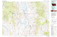
1976 Map of Townsend
USGS Topo · Published 1994About this map
The Elkhorn Mountains and Big Belt Mountains flank the upper Missouri River valley in this mid-1970s topographic study. The landscape is defined by its deep mining heritage, particularly in the west where a dense concentration of historical operations like the Elkhorn Mine, Golden Moss Mine, and Diamond Hill Mine dot the drainages. These mining sites are interconnected by primitive roads and pack trails, illustrating the extractive industry's reach into the high country of the Helena National Forest and Deerlodge National Forest.
Find a feature on this map
139 named features on this map. Tap any name to fly to it.
Don’t see what you’re looking for? This feature index may not catch every label — zoom into the map to look around manually.
Map Details
Editions of this 1976 Townsend Map
This is the sole edition of this map. No revisions or reprints were ever made.
Other maps of this area

1886 · Fort Logan
USGS Topo · 1:250,000
1886 · Little Belt Mts.
USGS Topo · 1:250,000

1888 · Three Forks
USGS Topo · 1:250,000

1889 · Helena
USGS Topo · 1:250,000
1891 · Livingston
USGS Topo · 1:250,000

1893 · Helena
USGS Topo · 1:250,000

1893 · Dillon
USGS Topo · 1:250,000
1893 · Livingston
USGS Topo · 1:250,000
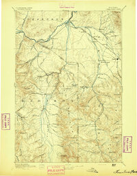
1894 · Three Forks
USGS Topo · 1:250,000
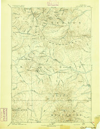
1894 · Little Belt Mts.
USGS Topo · 1:250,000