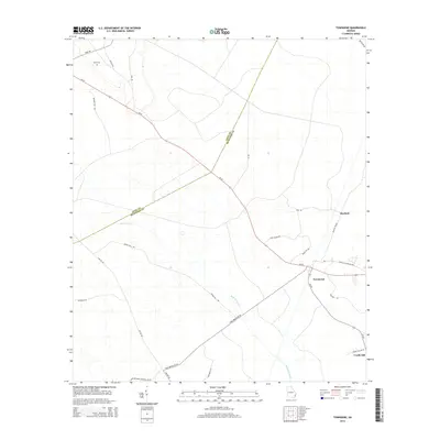
2014 Map of Townsend
USGS Topo · Published 2014About this map
The boundary between Long County and McIntosh County cuts diagonally through this low-lying coastal plain landscape, characterized by the intricate drainage of the Snuff Box Canal. This 2014 survey documents the small settlements of Townsend, Huxford, and Credit Hill, which are linked by a network of rural roads that often bear local family or landmark names. The presence of Davis Cem and the naming of routes like Plum Orchard Cemetery Rd Sw and Church Of God Rd Nw offer specific points of interest for genealogists tracing families in the Altamaha river basin region. Ga-57 serves as the primary corridor across the quadrangle, passing through the heart of Townsend where local infrastructure is most concentrated.
Find a feature on this map
27 named features on this map. Tap any name to fly to it.
Don’t see what you’re looking for? This feature index may not catch every label — zoom into the map to look around manually.
Map Details
Editions of this 2014 Townsend Map
This is the sole edition of this map. No revisions or reprints were ever made.
Other maps of this area

1918 · Everett City
USGS Topo · 1:62,500

1920 · Sapelo River
USGS Topo · 1:62,500

1920 · Everett City
USGS Topo · 1:62,500

1921 · Darien
USGS Topo · 1:62,500

1943 · Ludowici
USGS Topo · 1:62,500

1943 · Sapelo River
USGS Topo · 1:62,500

1944 · Everett City
USGS Topo · 1:62,500

1945 · Sapelo River
USGS Topo · 1:62,500

1946 · Brunswick
USGS Topo · 1:250,000

1948 · Brunswick
USGS Topo · 1:250,000