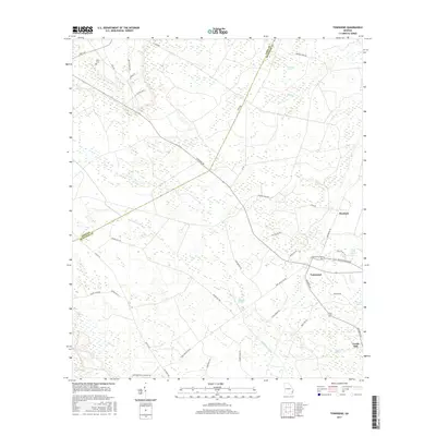
2017 Map of Townsend
USGS Topo · Published 2017About this map
Townsend and the neighboring community of Credit Hill anchor this low-lying coastal Georgia landscape, where the boundary between Long County and McIntosh County is defined by a vast network of wetlands. The area's reliance on historical drainage and timber transport is evident in features like Snuff Box Canal and the lingering path of Warsaw Tram Rd. These human-made interventions cut through a dense collection of named wetlands, including Bull Town Swamp, Big Mortar Swamp, and Big Bay.
Find a feature on this map
44 named features on this map. Tap any name to fly to it.
Don’t see what you’re looking for? This feature index may not catch every label — zoom into the map to look around manually.
Map Details
Editions of this 2017 Townsend Map
This is the sole edition of this map. No revisions or reprints were ever made.
Other maps of this area

1918 · Everett City
USGS Topo · 1:62,500

1920 · Sapelo River
USGS Topo · 1:62,500

1920 · Everett City
USGS Topo · 1:62,500

1921 · Darien
USGS Topo · 1:62,500

1943 · Ludowici
USGS Topo · 1:62,500

1943 · Sapelo River
USGS Topo · 1:62,500

1944 · Everett City
USGS Topo · 1:62,500

1945 · Sapelo River
USGS Topo · 1:62,500

1946 · Brunswick
USGS Topo · 1:250,000

1948 · Brunswick
USGS Topo · 1:250,000