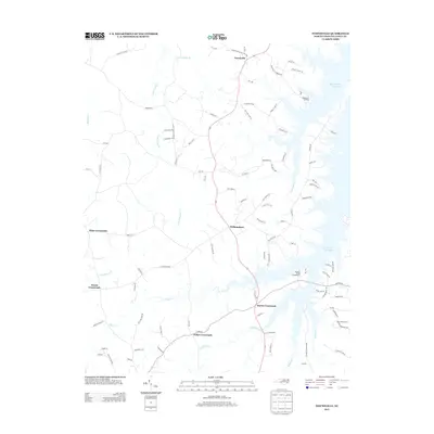
2013 Map of Townsville
USGS Topo · Published 2013About this map
Townsville and its surrounding crossroads define this section of Vance County along the North Carolina border. The landscape is heavily influenced by the reach of the John H. Kerr Reservoir, with its numerous inlets and bays like Little Nutbush Cr and Indian Cr carving into the terrain. In the north, Townsville Landing provides access to the water, while the interior is marked by a series of long-established junctions including Williamsboro, Harris Crossroads, and Kellys Crossroads.
Find a feature on this map
97 named features on this map. Tap any name to fly to it.
Don’t see what you’re looking for? This feature index may not catch every label — zoom into the map to look around manually.
Map Details
Editions of this 2013 Townsville Map
This is the sole edition of this map. No revisions or reprints were ever made.
Other maps of this area

1941 · Clarksville
USGS Topo · 1:48,000

1943 · Clarksville
USGS Topo · 1:62,500

1953 · Oxford
USGS Topo · 1:62,500

1953 · Greensboro
USGS Topo · 1:250,000

1954 · Greensboro
USGS Topo · 1:250,000

1955 · Boydton
USGS Topo · 1:62,500

1957 · Clarksville
USGS Topo · 1:62,500

1962 · Greensboro
USGS Topo · 1:250,000

1966 · Greensboro
USGS Topo · 1:250,000

1966 · Oxford
USGS Topo · 1:62,500
Featured Places
- Knotts Crossroads, NC
- Harris Crossroads, NC
- Island Creek Estates, NC
- Townsville, NC
- Kellys Crossroads, NC