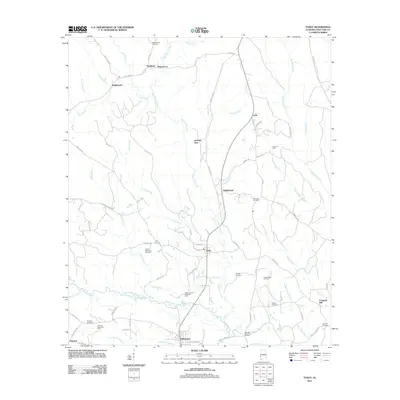
2011 Map of Toxey
USGS Topo · Published 2011About this map
Gilbertown and Toxey anchor this section of Choctaw County, revealing a landscape deeply tied to the extraction economy. The presence of several major industrial zones, including the Toxey Oil Field, Sugar Ridge Oil Field, and the North Choctaw Ridge Oil Field, suggests the region's reliance on energy production. Numerous family and community burial grounds, such as Bogueloosa Cemetery, Bonner Memorial Cemetery, and Old Lusk Cemetery, are scattered across the terrain, providing significant points of interest for genealogists and local historians. The area's geography is defined by a dense network of waterways, with Okatuppa Creek and Bogueloosa Creek meandering through the timbered landscape. Smaller settlements like Needham, Lusk, and Brightwater are connected by a web of local routes including Needham Rd and Bonner Rd, reflecting a rural residential pattern centered around both historic hamlets and industrial sites.
Find a feature on this map
76 named features on this map. Tap any name to fly to it.
Don’t see what you’re looking for? This feature index may not catch every label — zoom into the map to look around manually.
Map Details
Editions of this 2011 Toxey Map
This is the sole edition of this map. No revisions or reprints were ever made.
Other maps of this area

1953 · Hattiesburg
USGS Topo · 1:250,000

1953 · Meridian
USGS Topo · 1:250,000

1957 · Meridian
USGS Topo · 1:250,000

1958 · Hattiesburg
USGS Topo · 1:250,000

1965 · Meridian
USGS Topo · 1:250,000

1971 · Ararat
USGS Topo · 1:24,000

1971 · Coffeeville Lock And Dam
USGS Topo · 1:24,000

1974 · Melvin
USGS Topo · 1:24,000

1974 · Silas
USGS Topo · 1:24,000

1974 · Isney
USGS Topo · 1:24,000