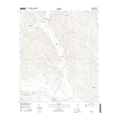
2014 Map of Toxey
USGS Topo · Published 2014About this map
Toxey and Gilbertown anchor this Choctaw County landscape, where the winding course of Okatuppa Creek and its many tributaries like Bogueloosa Creek define the local geography. The settlement pattern is characterized by small communities and family-named landmarks connected by a network of rural roads such as Needham Road and Bonner Road. For those tracing local history, several distinct burial grounds are documented, including Bogueloosa Cemetery near the northern boundary and the Old Lusk Cemetery situated further east near the Lusk community. The southern portion of the area features Mosley Bridge crossing the Okatuppa, a key point of transit near the Paragon area. This 2014 survey documents the enduring rural character of southwestern Alabama, from the creek bottoms of Seals Creek to the upland reaches of Chappell Hill.
Find a feature on this map
73 named features on this map. Tap any name to fly to it.
Don’t see what you’re looking for? This feature index may not catch every label — zoom into the map to look around manually.
Map Details
Editions of this 2014 Toxey Map
This is the sole edition of this map. No revisions or reprints were ever made.
Other maps of this area

1953 · Hattiesburg
USGS Topo · 1:250,000

1953 · Meridian
USGS Topo · 1:250,000

1957 · Meridian
USGS Topo · 1:250,000

1958 · Hattiesburg
USGS Topo · 1:250,000

1965 · Meridian
USGS Topo · 1:250,000

1971 · Ararat
USGS Topo · 1:24,000

1971 · Coffeeville Lock And Dam
USGS Topo · 1:24,000

1974 · Melvin
USGS Topo · 1:24,000

1974 · Silas
USGS Topo · 1:24,000

1974 · Isney
USGS Topo · 1:24,000