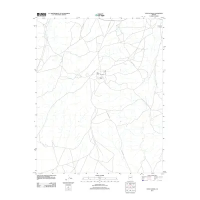
2011 Map of Toyei School
USGS Topo · Published 2011About this map
Toyei sits at the heart of this high-desert landscape in the Fort Defiance Agency region, serving as a focal point for local education and aviation. The small community is anchored by the Toyei School and the adjacent Toyei School Airport, illustrating the essential role of specialized infrastructure in supporting remote settlements. The surrounding terrain is defined by a network of local roads such as Indian Rte-9000 and Indian Rte-9002, which navigate a complex system of washes and draws. To the northeast, the dramatic landforms of Steamboat Canyon offer a natural landmark against the high plateau. The map details the transition between these geological features and the human footprint of cattle guards and rural routes like c447 and c291, highlighting the connectivity required for travel across this expansive landscape.
Find a feature on this map
10 named features on this map. Tap any name to fly to it.
Don’t see what you’re looking for? This feature index may not catch every label — zoom into the map to look around manually.
Map Details
Editions of this 2011 Toyei School Map
This is the sole edition of this map. No revisions or reprints were ever made.
Other maps of this area

1883 · Tusayan
USGS Topo · 1:250,000

1886 · Tusayan
USGS Topo · 1:250,000

1886 · Fort Defiance
USGS Topo · 1:250,000

1892 · Fort Defiance
USGS Topo · 1:250,000

1947 · Flagstaff
USGS Topo · 1:250,000

1954 · Flagstaff
USGS Topo · 1:250,000

1954 · Gallup
USGS Topo · 1:250,000

1958 · Gallup
USGS Topo · 1:250,000

1958 · Flagstaff
USGS Topo · 1:250,000

1959 · Gallup
USGS Topo · 1:250,000