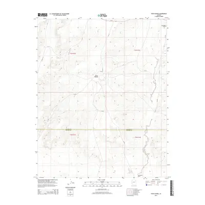
2014 Map of Toyei School
USGS Topo · Published 2014About this map
Toyei School stands as the central hub of this High Desert landscape, situated near the intersection of several Bureau of Indian Affairs routes including Bia-9000 and Bia-9031. The geography is defined by the sharp transition from the elevated plains into the carved depths of Steamboat Canyon in the northeast and the course of Steamboat Wash to the south. This 2014 survey captures the modern infrastructure of the Fort Defiance Agency, where the Apache Co Navajo Co boundary line bisects the high country. The road network, including Az-264 and various county roads like Co Road C447, reflects the essential transport corridors connecting these high-altitude settlements and educational centers across the tribal lands.
Find a feature on this map
16 named features on this map. Tap any name to fly to it.
Don’t see what you’re looking for? This feature index may not catch every label — zoom into the map to look around manually.
Map Details
Editions of this 2014 Toyei School Map
This is the sole edition of this map. No revisions or reprints were ever made.
Other maps of this area

1883 · Tusayan
USGS Topo · 1:250,000

1886 · Tusayan
USGS Topo · 1:250,000

1886 · Fort Defiance
USGS Topo · 1:250,000

1892 · Fort Defiance
USGS Topo · 1:250,000

1947 · Flagstaff
USGS Topo · 1:250,000

1954 · Flagstaff
USGS Topo · 1:250,000

1954 · Gallup
USGS Topo · 1:250,000

1958 · Gallup
USGS Topo · 1:250,000

1958 · Flagstaff
USGS Topo · 1:250,000

1959 · Gallup
USGS Topo · 1:250,000