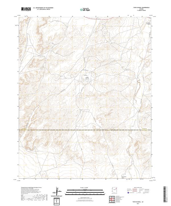
2021 Map of Toyei School
USGS Topo · Published 2021About this map
Toyei School serves as a central landmark within the High Desert landscape of the Navajo Nation, situated at the junction of several essential regional thoroughfares. The settlement of Toyei is positioned amidst a network of routes including Indian Rte 9000 and Old Toyei Rd, reflecting the modern infrastructure and connectivity of this part of Apache County. The terrain is defined by the significant drainage of Steamboat Wash, which winds through the eastern portion of the quadrangle toward the prominent landform of Steamboat Canyon. This topographic study reveals the sparse but organized settlement pattern of the area, where roads like Indian Rte 9054 and Indian Rte 9031 follow the natural contours of the mesas and washes, illustrating the relationship between the arid environment and the local transportation network.
Find a feature on this map
15 named features on this map. Tap any name to fly to it.
Don’t see what you’re looking for? This feature index may not catch every label — zoom into the map to look around manually.
Map Details
Editions of this 2021 Toyei School Map
This is the sole edition of this map. No revisions or reprints were ever made.
Other maps of this area

1883 · Tusayan
USGS Topo · 1:250,000

1886 · Tusayan
USGS Topo · 1:250,000

1886 · Fort Defiance
USGS Topo · 1:250,000

1892 · Fort Defiance
USGS Topo · 1:250,000

1947 · Flagstaff
USGS Topo · 1:250,000

1954 · Flagstaff
USGS Topo · 1:250,000

1954 · Gallup
USGS Topo · 1:250,000

1958 · Gallup
USGS Topo · 1:250,000

1958 · Flagstaff
USGS Topo · 1:250,000

1959 · Gallup
USGS Topo · 1:250,000