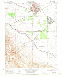
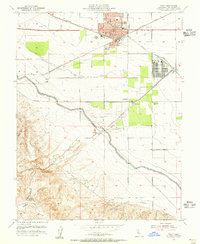
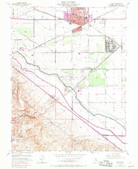
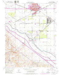
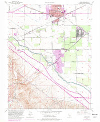
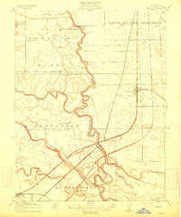
1954 Map of Tracy
USGS Topo · Published 1965About this map
Tracy serves as a critical junction for the Southern Pacific and Western Pacific railroads during this mid-century period. The town's grid is dense with civic infrastructure, including City Hall, a Hospital, and schools such as Central Sch and Union High Sch. To the southeast, the massive Sharpe General Depot (Tracy Annex) emphasizes the region's importance as a military and logistics hub, while industrial activity is noted at the Manganese Mill and various gravel pits near Carbona.
Find a feature on this map
37 named features on this map. Tap any name to fly to it.
Don’t see what you’re looking for? This feature index may not catch every label — zoom into the map to look around manually.
Map Details
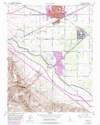
Editions of this 1954 Tracy Map
6 editions found
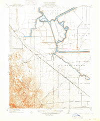
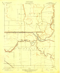
Other maps of this area

1907 · Tesla
USGS Topo · 1:62,500

1913 · Romain
USGS Topo · 1:31,680
1914 · Bethany
USGS Topo · 1:31,680
1914 · Union Island
USGS Topo · 1:31,680

1915 · Vernalis
USGS Topo · 1:31,680
1915 · Lathrop
USGS Topo · 1:31,680

1916 · Byron
USGS Topo · 1:62,500
1916 · Tracy
USGS Topo · 1:31,680
1916 · Romain
USGS Topo · 1:31,680
1916 · Midway
USGS Topo · 1:31,680