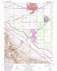
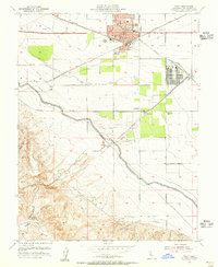
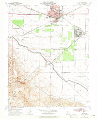
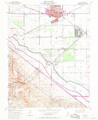
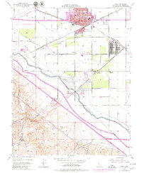
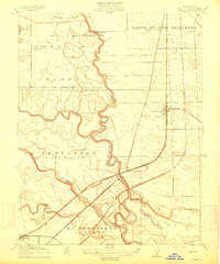
1954 Map of Tracy
USGS Topo · Published 1985About this map
The growing agricultural and transit hub of Tracy sits at the intersection of critical infrastructure, where the Southern Pacific and Western Pacific railroads converge. This mid-century landscape is defined by its complex water management system, featuring the Delta-Mendota Canal, the California Aqueduct, and the Main Canal providing irrigation to the surrounding valley floor. To the south, the topography rises sharply toward Black Butte and Castle Rock, marking the transition from the fertile plains into the more complex terrain of Corral Hollow.
Find a feature on this map
38 named features on this map. Tap any name to fly to it.
Don’t see what you’re looking for? This feature index may not catch every label — zoom into the map to look around manually.
Map Details
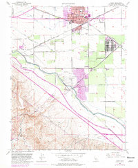
Editions of this 1954 Tracy Map
6 editions found
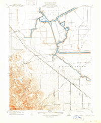
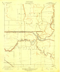
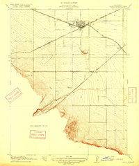
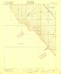
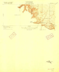
Other maps of this area

1907 · Tesla
USGS Topo · 1:62,500

1913 · Romain
USGS Topo · 1:31,680
1914 · Bethany
USGS Topo · 1:31,680
1914 · Union Island
USGS Topo · 1:31,680

1915 · Vernalis
USGS Topo · 1:31,680
1915 · Lathrop
USGS Topo · 1:31,680

1916 · Byron
USGS Topo · 1:62,500
1916 · Tracy
USGS Topo · 1:31,680
1916 · Romain
USGS Topo · 1:31,680
1916 · Midway
USGS Topo · 1:31,680