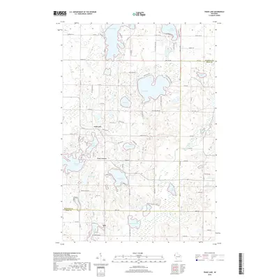
2018 Map of Trade Lake
USGS Topo · Published 2018About this map
Trade Lake and the surrounding lake country of northwestern Wisconsin are meticulously detailed in this contemporary study of the Burnett and Polk county border. The landscape is defined by its glacial hydrology, featuring a dense network of water bodies including Big Trade Lake, Spirit Lake, and the winding Wood River. Smaller settlements like Atlas and Four Corners anchor the rural road system, which follows the section lines of the Public Land Survey System.
Find a feature on this map
96 named features on this map. Tap any name to fly to it.
Don’t see what you’re looking for? This feature index may not catch every label — zoom into the map to look around manually.
Map Details
Editions of this 2018 Trade Lake Map
This is the sole edition of this map. No revisions or reprints were ever made.
Other maps of this area
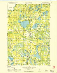
1950 · Webster
USGS Topo · 1:48,000
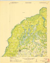
1950 · Grantsburg
USGS Topo · 1:48,000
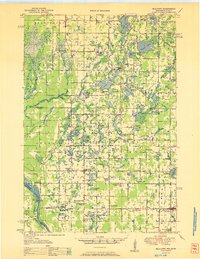
1951 · Milltown
USGS Topo · 1:48,000

1951 · Frederic
USGS Topo · 1:48,000

1953 · Stillwater
USGS Topo · 1:250,000
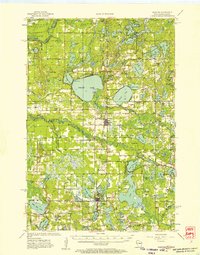
1955 · Webster
USGS Topo · 1:62,500
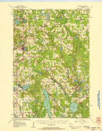
1955 · Frederic
USGS Topo · 1:62,500
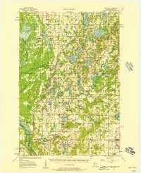
1955 · Milltown
USGS Topo · 1:62,500

1955 · Stillwater
USGS Topo · 1:250,000

1958 · Stillwater
USGS Topo · 1:250,000