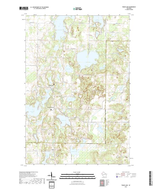
2022 Map of Trade Lake
USGS Topo · Published 2022About this map
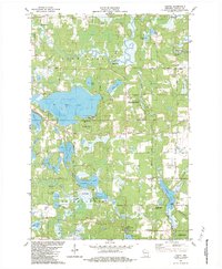
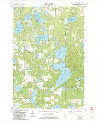
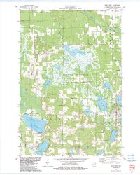
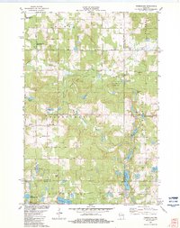
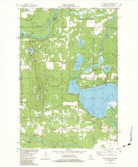
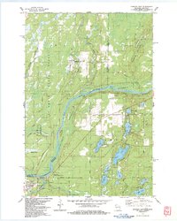
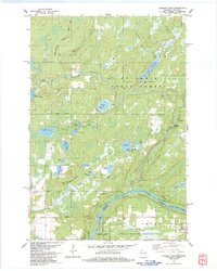
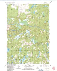
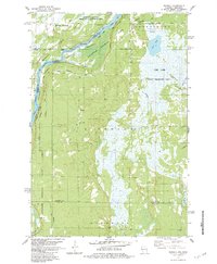
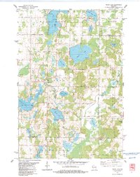
Trade Lake and the nearby settlements of Four Corners and Atlas define this northern Wisconsin landscape where the Trade River and Wood River drain through a dense network of glacial lakes. Local heritage is preserved at sites like Mission Cem, Zion Cem, and Union Cem, which serve as cornerstones for genealogical research in Burnett and Polk Counties. The area's ancient history is physically marked by an Indian Mound south of Long Trade Lake. Significant water bodies including Spirit Lake, Big Trade Lake, and Wood Lake dominate the terrain, connected by rural routes such as Co Hwy H and Co Hwy W. The mapping detail reflects a lakeside community structured around these historic crossroads and natural resources, providing a clear picture of the region's mid-20th-century residential and agricultural footprint.
Find a feature on this map
105 named features on this map. Tap any name to fly to it.
Don’t see what you’re looking for? This feature index may not catch every label — zoom into the map to look around manually.
Map Details
Editions of this 2022 Trade Lake Map
This is the sole edition of this map. No revisions or reprints were ever made.
Historical Maps of Four Corners Through Time
40 maps found

1949 Hertel
Burnett County, WI

1949 Webb Lake
Burnett County, WI
1955 Hertel
Burnett County, WI
1955 Webb Lake
Burnett County, WI
1974 Milltown NE
Burnett County, WI
1974 Milltown NW
Burnett County, WI
1982 Birch Island Lake
Burnett County, WI
1982 Falun
Burnett County, WI
1982 Hertel
Burnett County, WI
1982 Mc Kenzie Lake
Burnett County, WI
1982 Monson Lake
Burnett County, WI
1982 Poquettes Lake
Burnett County, WI
1982 Siren East
Burnett County, WI
1982 Siren West
Burnett County, WI
1982 Timberland
Burnett County, WI
1982 Yellow Lake
Burnett County, WI
1983 Danbury East
Burnett County, WI
1983 Danbury West
Burnett County, WI
1983 Frog Lake
Burnett County, WI
1983 Randall
Burnett County, WI
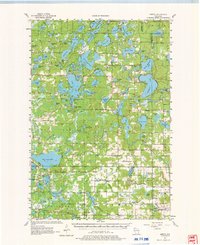
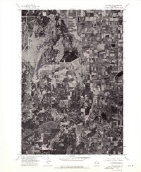
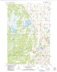
1983 Trade Lake
Burnett County, WI
1983 Trade River
Burnett County, WI
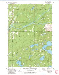
1983 Webb Lake
Burnett County, WI
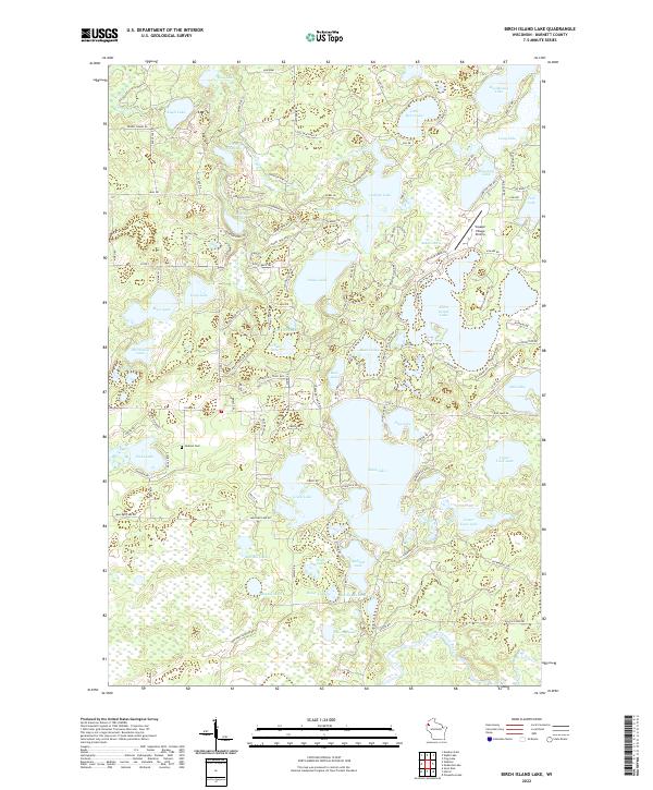
2022 Birch Island Lake
Burnett County, WI
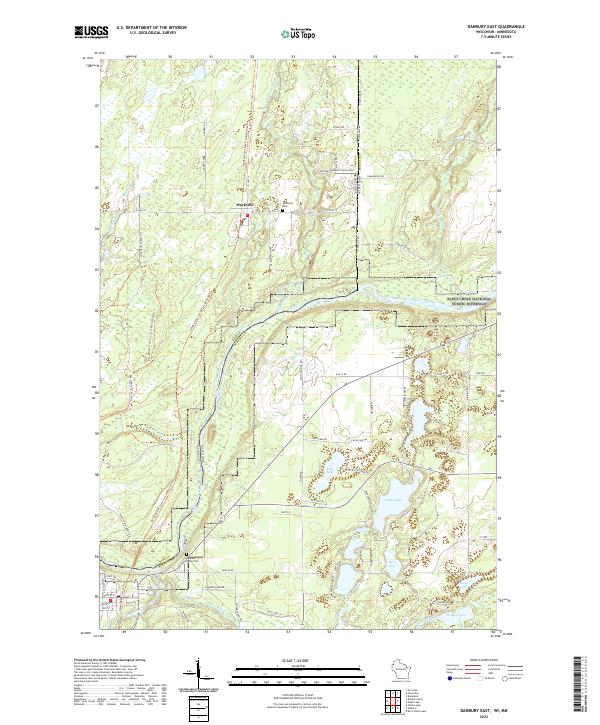
2022 Danbury East
Burnett County, WI
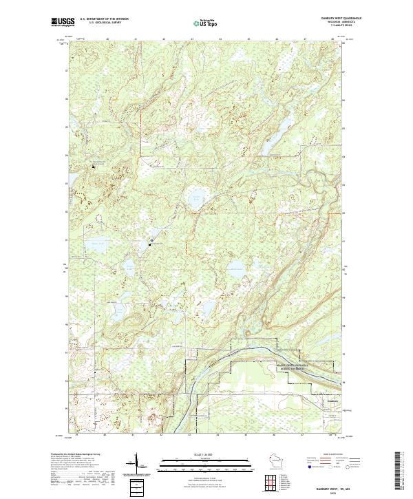
2022 Danbury West
Burnett County, WI
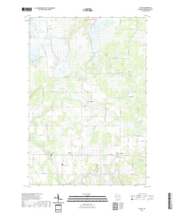
2022 Falun
Burnett County, WI
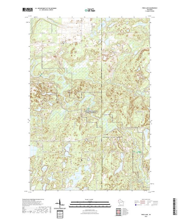
2022 Frog Lake
Burnett County, WI
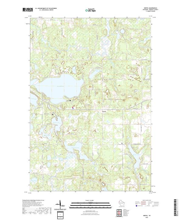
2022 Hertel
Burnett County, WI
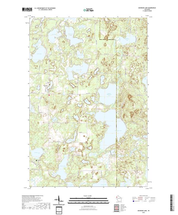
2022 McKenzie Lake
Burnett County, WI
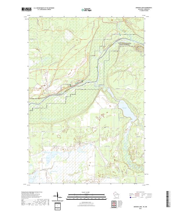
2022 Monson Lake
Burnett County, WI
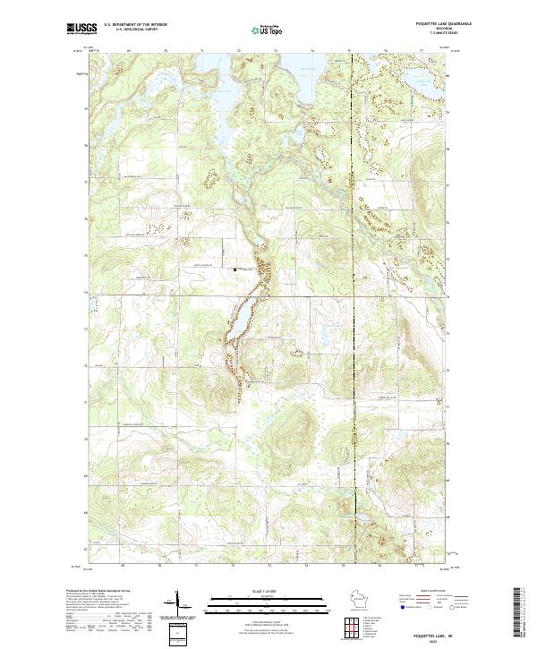
2022 Poquettes Lake
Burnett County, WI
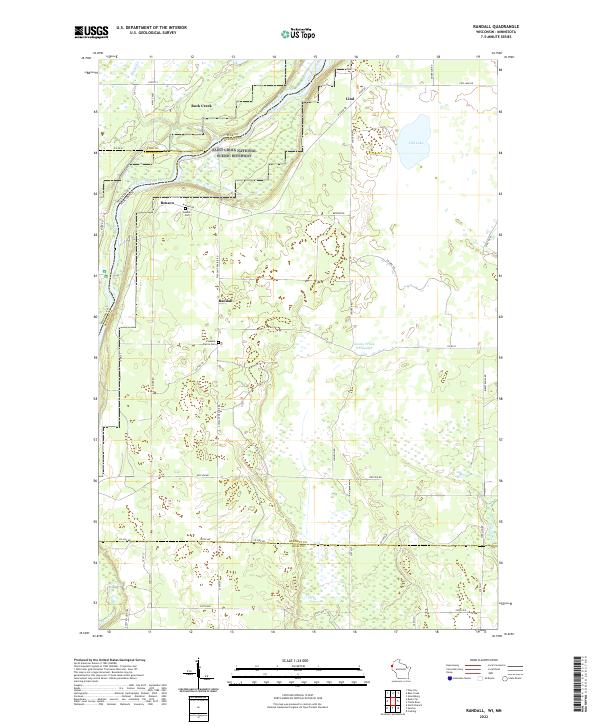
2022 Randall
Burnett County, WI
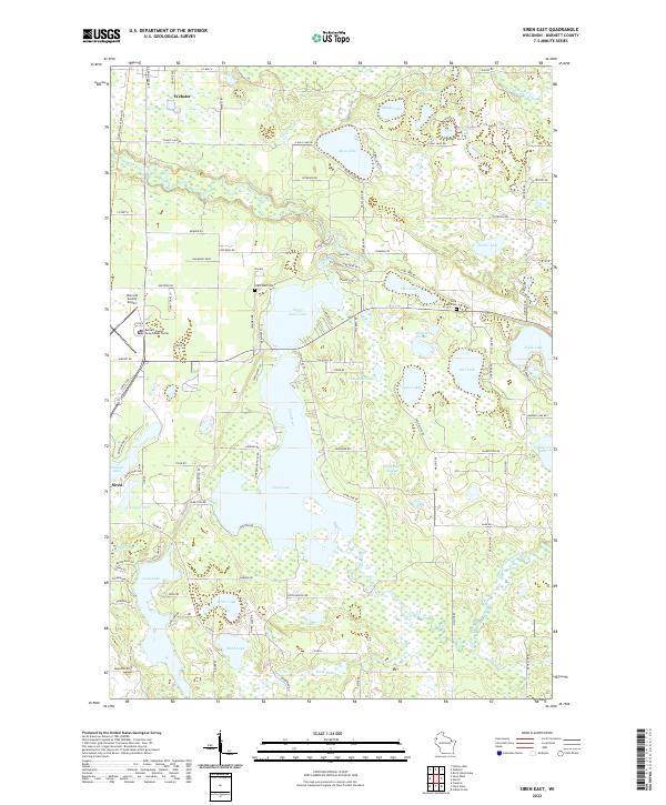
2022 Siren East
Burnett County, WI
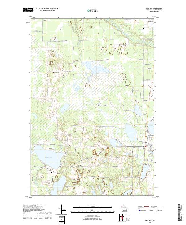
2022 Siren West
Burnett County, WI
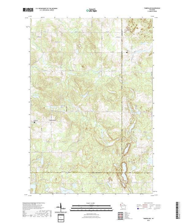
2022 Timberland
Burnett County, WI
2022 Trade Lake
Burnett County, WI
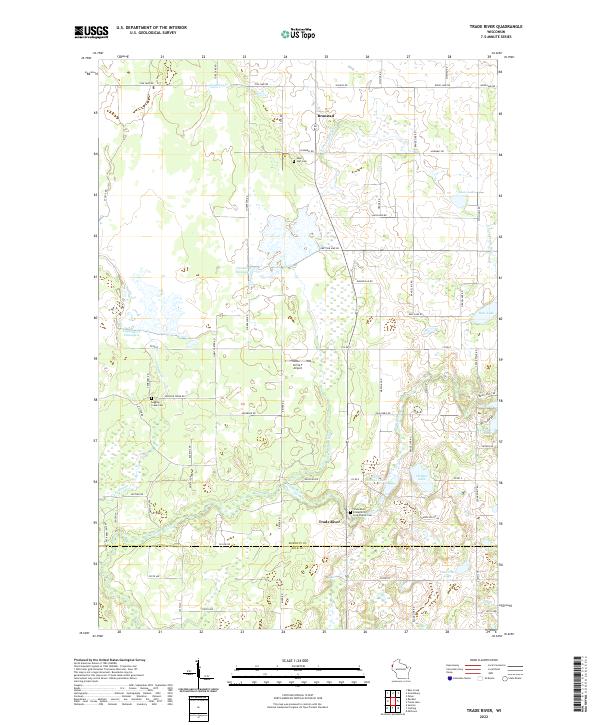
2022 Trade River
Burnett County, WI
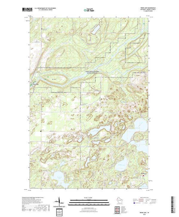
2022 Webb Lake
Burnett County, WI
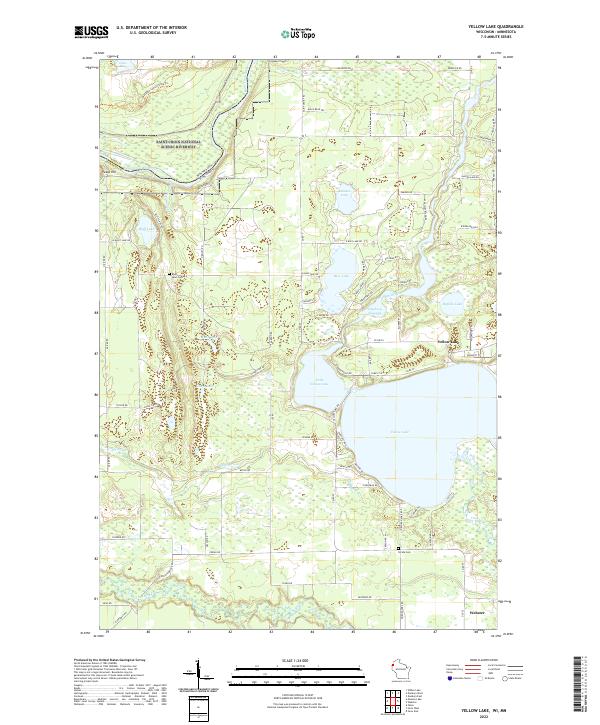
2022 Yellow Lake
Burnett County, WI