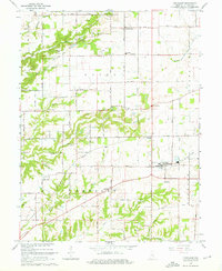
1965 Map of Trafalgar
USGS Topo · Published 1966About this map
Trafalgar serves as the primary hub in this mid-1960s survey of southern Johnson County, where the rural landscape is defined by the headwaters of numerous creeks. The intersection of local life is evident in small settlements like Samaria, Anita, and Bud, each tied together by a network of sectional roads and the Old Railroad Grade running southeast of town. This era shows a community deeply rooted in its local institutions, evidenced by the distribution of country churches such as Christian Chapel and Beech Grove Ch, and the numerous family burial grounds including Watts Cem and Simpson Cem. To the north, the terrain shifts near Pea Ridge and Moore Hill, where North Prong Stotts Creek carves through the township. The presence of the Radio Tower (WTTV-TV) provides a distinct 20th-century landmark amidst the traditional farmstead grid.
Find a feature on this map
54 named features on this map. Tap any name to fly to it.
Don’t see what you’re looking for? This feature index may not catch every label — zoom into the map to look around manually.
Map Details
Editions of this 1965 Trafalgar Map
4 editions found
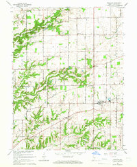
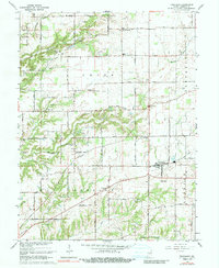
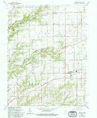
Other maps of this area

1942 · Franklin
USGS Topo · 1:125,000

1947 · Franklin
USGS Topo · 1:62,500

1948 · Franklin
USGS Topo · 1:24,000

1948 · Trafalgar
USGS Topo · 1:24,000

1948 · Nineveh
USGS Topo · 1:24,000

1948 · Fruitdale
USGS Topo · 1:24,000

1948 · Morgantown
USGS Topo · 1:24,000

1950 · Morgantown
USGS Topo · 1:24,000

1950 · Franklin
USGS Topo · 1:62,500

1952 · Bargersville
USGS Topo · 1:24,000