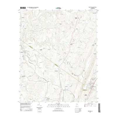
2014 Map of Trafford
USGS Topo · Published 2014About this map
Locust Fork and its various tributaries, including Kelly Cr and Gurley Cr, define the drainage patterns of this corner of the Alabama mineral belt. The landscape is marked by the distinct ridges of Sand Mountain and Sand Ridge, creating natural bottlenecks like Gurley Creek Gap and the geologic formation known as The Narrows. This topography heavily influenced early settlement and transport, with the Blount and Jefferson County line bisecting the map and directing the placement of rural connectors like Deans Ferry Rd.
Find a feature on this map
127 named features on this map. Tap any name to fly to it.
Don’t see what you’re looking for? This feature index may not catch every label — zoom into the map to look around manually.
Map Details
Editions of this 2014 Trafford Map
This is the sole edition of this map. No revisions or reprints were ever made.
Other maps of this area

1889 · Birmingham
USGS Topo · 1:125,000

1892 · Birmingham
USGS Topo · 1:125,000

1895 · Birmingham
USGS Topo · 1:125,000

1904 · Birmingham Coal District
USGS Topo · 1:62,500

1905 · Leeds
USGS Topo · 1:62,500

1906 · Birmingham Special
USGS Topo · 1:62,500

1907 · Birmingham
USGS Topo · 1:125,000

1907 · Leeds
USGS Topo · 1:62,500

1951 · Warrior
USGS Topo · 1:24,000

1951 · Blount Springs
USGS Topo · 1:24,000