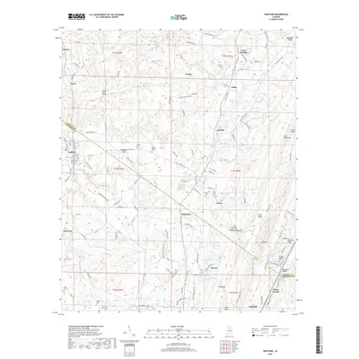
2018 Map of Trafford
USGS Topo · Published 2018About this map
Locust Fork and its tributaries carve a complex drainage pattern across this landscape on the Blount and Jefferson County line. The terrain is defined by prominent ridges like Sand Mountain and Red Mountain, which constrain the movement of people and water through natural passages such as The Narrows and Gurley Creek Gap. Small settlements and rural junctions like Selfville, Trafford, and Lehigh are connected by a network of county roads including County Road 153 and County Highway 121.
Find a feature on this map
57 named features on this map. Tap any name to fly to it.
Don’t see what you’re looking for? This feature index may not catch every label — zoom into the map to look around manually.
Map Details
Editions of this 2018 Trafford Map
This is the sole edition of this map. No revisions or reprints were ever made.
Other maps of this area

1889 · Birmingham
USGS Topo · 1:125,000

1892 · Birmingham
USGS Topo · 1:125,000

1895 · Birmingham
USGS Topo · 1:125,000

1904 · Birmingham Coal District
USGS Topo · 1:62,500

1905 · Leeds
USGS Topo · 1:62,500

1906 · Birmingham Special
USGS Topo · 1:62,500

1907 · Birmingham
USGS Topo · 1:125,000

1907 · Leeds
USGS Topo · 1:62,500

1951 · Warrior
USGS Topo · 1:24,000

1951 · Blount Springs
USGS Topo · 1:24,000