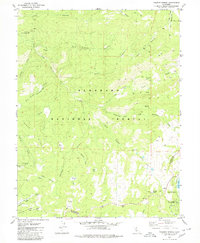
1979 Map of Tragedy Spring
USGS Topo · Published 1980About this map
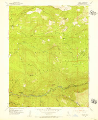
Tragedy Spring and its surrounding high-country landscape reflect the pioneer and recreational history of the El Dorado National Forest during the late 1970s. The map identifies significant historical markers such as Maidens Grave and Picnic Area Grave along the Tragedy Creek corridor, underscoring the area's legacy as a transit point for early travelers crossing the Sierra. In the south, the community around Silver Lake is established with the Plasse (Silver Lake PO) post office and the Stockton Municipal Camp, while nearby Ski Lifts and a Ski Area indicate the shift toward winter tourism.
Find a feature on this map
54 named features on this map. Tap any name to fly to it.
Don’t see what you’re looking for? This feature index may not catch every label — zoom into the map to look around manually.
Map Details
Editions of this 1979 Tragedy Spring Map
2 editions found

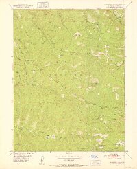
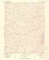
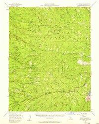
Other maps of this area

1889 · Pyramid Peak
USGS Topo · 1:125,000

1891 · Pyramid Peak
USGS Topo · 1:125,000

1895 · Pyramid Peak
USGS Topo · 1:125,000

1896 · Pyramid Peak
USGS Topo · 1:125,000

1947 · Sacramento
USGS Topo · 1:250,000

1948 · Sacramento
USGS Topo · 1:250,000
1951 · Leek Spring Hill
USGS Topo · 1:24,000
1951 · Peddler Hill
USGS Topo · 1:24,000
1951 · Leek Spring Hill
USGS Topo · 1:62,500
1952 · Kyburz
USGS Topo · 1:24,000