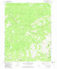
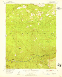
1979 Map of Tragedy Spring
USGS Topo · Published 1983About this map
Tragedy Spring and the nearby Tragedy Spring Grave serve as central points of interest in this high-altitude landscape within the Eldorado National Forest. The map documents a rugged Sierra Nevada environment defined by steep canyons like Negro Canyon and Bark Shanty Canyon, alongside named meadows and flats such as Convict Meadow and Forgotten Flat. The presence of Maidens Grave near the El Dorado and Amador county line highlights the area's rich association with pioneer-era travel and mortality along early trans-Sierra routes.
Find a feature on this map
54 named features on this map. Tap any name to fly to it.
Don’t see what you’re looking for? This feature index may not catch every label — zoom into the map to look around manually.
Map Details
Editions of this 1979 Tragedy Spring Map
2 editions found
Other maps of this area

1889 · Pyramid Peak
USGS Topo · 1:125,000

1891 · Pyramid Peak
USGS Topo · 1:125,000

1895 · Pyramid Peak
USGS Topo · 1:125,000

1896 · Pyramid Peak
USGS Topo · 1:125,000

1947 · Sacramento
USGS Topo · 1:250,000

1948 · Sacramento
USGS Topo · 1:250,000

1951 · Leek Spring Hill
USGS Topo · 1:24,000
1951 · Peddler Hill
USGS Topo · 1:24,000
1951 · Leek Spring Hill
USGS Topo · 1:62,500
1952 · Kyburz
USGS Topo · 1:24,000