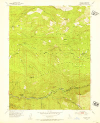
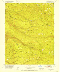
1952 Map of Kyburz
USGS Topo · Published 1954About this map
The South Fork American River corridor serves as the primary artery through this portion of the Eldorado National Forest, where the settlement of Kyburz sits at the base of the prominent Sugarloaf peak. The landscape is defined by its water management and early mountain infrastructure, featuring the South Ditch, several water tanks, and a Gaging Sta. Notable for its dispersed family and forest outposts, the area includes the Wilson Ranch, Jones Place, and the Windmiller Cabin, reflecting the era's mix of ranching and remote forest administration.
Find a feature on this map
42 named features on this map. Tap any name to fly to it.
Don’t see what you’re looking for? This feature index may not catch every label — zoom into the map to look around manually.
Map Details
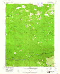
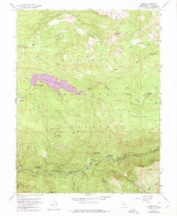
Editions of this 1952 Kyburz Map
4 editions found

Other maps of this area

1889 · Pyramid Peak
USGS Topo · 1:125,000

1891 · Pyramid Peak
USGS Topo · 1:125,000

1895 · Pyramid Peak
USGS Topo · 1:125,000

1896 · Pyramid Peak
USGS Topo · 1:125,000

1947 · Sacramento
USGS Topo · 1:250,000

1948 · Sacramento
USGS Topo · 1:250,000

1950 · Riverton
USGS Topo · 1:24,000
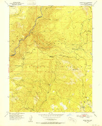
1950 · Robbs Peak
USGS Topo · 1:24,000
1951 · Stump Spring
USGS Topo · 1:24,000

1951 · Leek Spring Hill
USGS Topo · 1:24,000