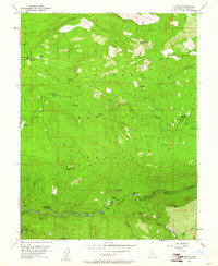
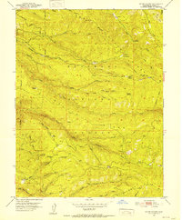
1952 Map of Kyburz
USGS Topo · Published 1961About this map
South Fork American River flows through the southern reaches of this mountain landscape, serving as a corridor for settlement and infrastructure within the Eldorado National Forest. The community of Kyburz is a focal point, supported by the Silver Fork School and various water management features including a Gaging Station and several Water Tanks. The map reveals a post-war environment where early forest management and pioneer-era grazing intersect, marked by family-named landmarks like Jones Place, Wilson Ranch, and the Windmiller Cabin. Moving away from the river, the terrain rises sharply toward Cheese Camp Ridge and Peavine Ridge, with narrow routes like the Windmiller Trail and multiple jeep trails providing access to high-elevation points such as Four Cornered Peak and Sugarloaf.
Find a feature on this map
60 named features on this map. Tap any name to fly to it.
Don’t see what you’re looking for? This feature index may not catch every label — zoom into the map to look around manually.
Map Details
Editions of this 1952 Kyburz Map
4 editions found

Other maps of this area

1889 · Pyramid Peak
USGS Topo · 1:125,000

1891 · Pyramid Peak
USGS Topo · 1:125,000

1895 · Pyramid Peak
USGS Topo · 1:125,000

1896 · Pyramid Peak
USGS Topo · 1:125,000

1947 · Sacramento
USGS Topo · 1:250,000

1948 · Sacramento
USGS Topo · 1:250,000

1950 · Riverton
USGS Topo · 1:24,000
1950 · Robbs Peak
USGS Topo · 1:24,000
1951 · Stump Spring
USGS Topo · 1:24,000

1951 · Leek Spring Hill
USGS Topo · 1:24,000