
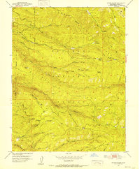
1952 Map of Kyburz
USGS Topo · Published 1985About this map
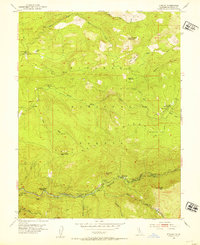
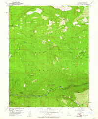
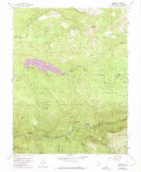
The American River canyon anchors this mid-century survey of the Eldorado National Forest, capturing the intersection of hydraulic engineering and mountain settlement. Along the river’s south fork, the small community of Kyburz sits near the Silver Fork School and a specialized Gaging Sta, highlighting the area's importance for water management. The landscape is defined by its steep ridges and the early infrastructure of the South Ditch, which provided water to lower elevations, supported by worker sites like Ditch Camp One.
Find a feature on this map
34 named features on this map. Tap any name to fly to it.
Don’t see what you’re looking for? This feature index may not catch every label — zoom into the map to look around manually.
Map Details
Editions of this 1952 Kyburz Map
4 editions found
Other maps of this area

1889 · Pyramid Peak
USGS Topo · 1:125,000

1891 · Pyramid Peak
USGS Topo · 1:125,000

1895 · Pyramid Peak
USGS Topo · 1:125,000

1896 · Pyramid Peak
USGS Topo · 1:125,000

1947 · Sacramento
USGS Topo · 1:250,000

1948 · Sacramento
USGS Topo · 1:250,000

1950 · Riverton
USGS Topo · 1:24,000
1950 · Robbs Peak
USGS Topo · 1:24,000
1951 · Stump Spring
USGS Topo · 1:24,000

1951 · Leek Spring Hill
USGS Topo · 1:24,000