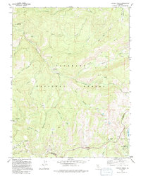
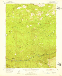
1992 Map of Tragedy Spring
USGS Topo · Published 1994About this map
The high Sierra Nevada landscape of the Eldorado National Forest is defined here by the deep incision of the Silver Fork American River and its numerous tributary canyons. During the early 1990s, this area served as a crossroads of recreation and pioneer history, evidenced by the presence of the Iron Mountain Ski Area and the Plasse Resort near the shores of Silver Lake. The map preserves several poignant markers of the emigrant experience, most notably Tragedy Spring and Maidens Grave, which sit along the historic corridor through the mountains.
Find a feature on this map
53 named features on this map. Tap any name to fly to it.
Don’t see what you’re looking for? This feature index may not catch every label — zoom into the map to look around manually.
Map Details
Editions of this 1992 Tragedy Spring Map
2 editions found
Other maps of this area

1889 · Pyramid Peak
USGS Topo · 1:125,000

1891 · Pyramid Peak
USGS Topo · 1:125,000

1895 · Pyramid Peak
USGS Topo · 1:125,000

1896 · Pyramid Peak
USGS Topo · 1:125,000

1947 · Sacramento
USGS Topo · 1:250,000

1948 · Sacramento
USGS Topo · 1:250,000

1951 · Leek Spring Hill
USGS Topo · 1:24,000
1951 · Peddler Hill
USGS Topo · 1:24,000
1951 · Leek Spring Hill
USGS Topo · 1:62,500
1952 · Kyburz
USGS Topo · 1:24,000