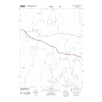
2011 Map of Trail Mountain
USGS Topo · Published 2011About this map
Trail Mountain dominates this portion of Sevier County, where a network of canyons and high-elevation flats defines the central Utah landscape. The area is characterized by an intricate drainage system including Three Creeks and Clear Creek, which flows through a distinctive geological pinch point known as The Narrows. Historical land use is suggested by the presence of cattle or stock-related features like Mud Flats and Shingle Creek Meadows.
Find a feature on this map
29 named features on this map. Tap any name to fly to it.
Don’t see what you’re looking for? This feature index may not catch every label — zoom into the map to look around manually.
Map Details
Editions of this 2011 Trail Mountain Map
This is the sole edition of this map. No revisions or reprints were ever made.
Other maps of this area

1885 · Beaver
USGS Topo · 1:250,000

1932 · Sevier
USGS Topo · 1:62,500

1935 · Sevier
USGS Topo · 1:62,500

1937 · Delano Peak
USGS Topo · 1:48,000

1943 · Delano Peak
USGS Topo · 1:62,500

1953 · Richfield
USGS Topo · 1:250,000

1954 · Beaver NE
USGS Topo · 1:24,000

1958 · Richfield
USGS Topo · 1:250,000

1958 · Beaver
USGS Topo · 1:62,500

1962 · Cove Fort
USGS Topo · 1:62,500