
1957 Map of Trail Ridge
USGS Topo · Published 1959About this map
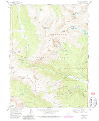
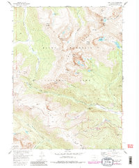
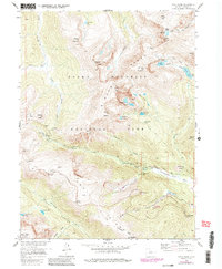
The Mummy Range dominates this mid-century survey, showcasing the high-altitude terrain of Rocky Mountain National Park during a period of expanding recreational infrastructure. The iconic Trail Ridge Road snakes across the high ridges, passing landmarks like Rock Cut and Rainbow Curve as it reaches its highest elevations near Iceberg Pass. This era represents the peak of post-war alpine tourism, evidenced by the presence of the Ski Lodge and Pumping Sta in Hidden Valley.
Find a feature on this map
70 named features on this map. Tap any name to fly to it.
Don’t see what you’re looking for? This feature index may not catch every label — zoom into the map to look around manually.
Map Details
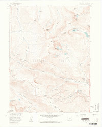
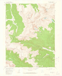
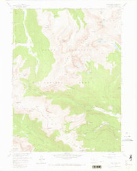
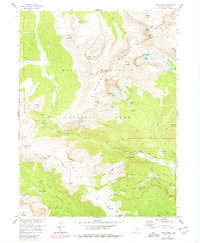
Editions of this 1957 Trail Ridge Map
8 editions found
Other maps of this area

1915 · Longs Peak
USGS Topo · 1:125,000

1916 · Home
USGS Topo · 1:125,000

1919 · Rocky Mountain National Park
USGS Topo · 1:125,000

1920 · Home
USGS Topo · 1:125,000

1954 · Greeley
USGS Topo · 1:250,000

1957 · Greeley
USGS Topo · 1:250,000

1957 · Mc Henrys Peak
USGS Topo · 1:24,000

1957 · Longs Peak
USGS Topo · 1:24,000

1957 · Estes Park
USGS Topo · 1:24,000

1958 · Greeley
USGS Topo · 1:250,000