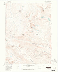
1957 Map of Trail Ridge
USGS Topo · Published 1962About this map
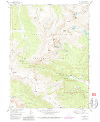
Rocky Mountain National Park is defined here by the high-elevation engineering of the Trail Ridge Road, reaching landmarks like Rock Cut and Iceberg Pass. This 1950s survey documents the transition from early pack trails to automotive tourism, showing the Old Fall River Road and the Ute Trail winding through the Mummy Range. Along the glacial terrain of Hanging Valley and Hidden Valley, the map captures specific recreational and utility infrastructure, including the Hidden Valley Ski Area complete with a Sky Lift and Ski Lodge, alongside a Power Plant on the Big Thompson River. For those researching mid-century park management, the map identifies a Ranger Sta and Patrol Cabin near Willow Park, providing a record of the park's operational footprint before later modernization.
Find a feature on this map
69 named features on this map. Tap any name to fly to it.
Don’t see what you’re looking for? This feature index may not catch every label — zoom into the map to look around manually.
Map Details
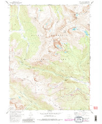
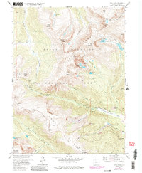
Editions of this 1957 Trail Ridge Map
8 editions found
Other maps of this area

1915 · Longs Peak
USGS Topo · 1:125,000

1916 · Home
USGS Topo · 1:125,000

1919 · Rocky Mountain National Park
USGS Topo · 1:125,000

1920 · Home
USGS Topo · 1:125,000

1954 · Greeley
USGS Topo · 1:250,000

1957 · Greeley
USGS Topo · 1:250,000

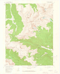
1957 · Mc Henrys Peak
USGS Topo · 1:24,000

1957 · Trail Ridge
USGS Topo · 1:24,000

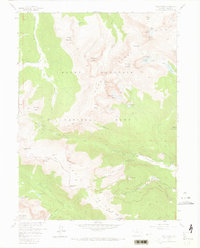
1957 · Longs Peak
USGS Topo · 1:24,000

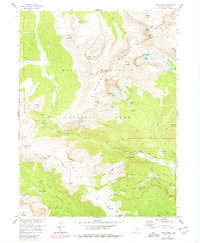
1957 · Estes Park
USGS Topo · 1:24,000