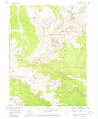
1957 Map of Trail Ridge
USGS Topo · Published 1978About this map
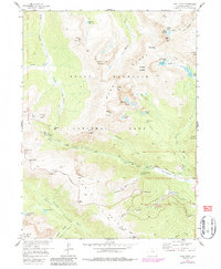
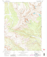
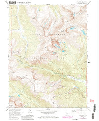
The Mummy Range dominates this portion of Rocky Mountain National Park, where high-altitude peaks like Hagues Peak and Ypsilon Mtn overlook a complex network of alpine lakes and glacial features. The mapping highlights the infrastructure of early-to-mid 20th-century mountain tourism, particularly along the winding Trail Ridge Road as it crests at Iceberg Pass and passes landmarks like the Toll Memorial.
Find a feature on this map
69 named features on this map. Tap any name to fly to it.
Don’t see what you’re looking for? This feature index may not catch every label — zoom into the map to look around manually.
Map Details
Editions of this 1957 Trail Ridge Map
8 editions found
Other maps of this area

1915 · Longs Peak
USGS Topo · 1:125,000

1916 · Home
USGS Topo · 1:125,000

1919 · Rocky Mountain National Park
USGS Topo · 1:125,000

1920 · Home
USGS Topo · 1:125,000

1954 · Greeley
USGS Topo · 1:250,000

1957 · Greeley
USGS Topo · 1:250,000

1957 · Mc Henrys Peak
USGS Topo · 1:24,000

1957 · Trail Ridge
USGS Topo · 1:24,000

1957 · Longs Peak
USGS Topo · 1:24,000

1957 · Estes Park
USGS Topo · 1:24,000