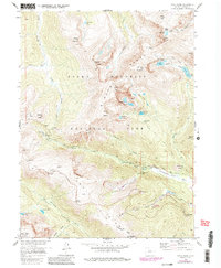
1957 Map of Trail Ridge
USGS Topo · Published 1986About this map
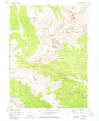
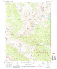
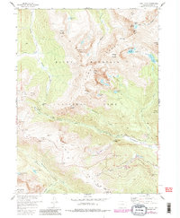
The Mummy Range and high alpine terrain of Larimer County dominate this mid-century topographic record of Rocky Mountain National Park. High-altitude motoring and early winter recreation are central themes, evidenced by the winding path of Trail Ridge and its notable stopping points like Rainbow Curve and Many Parks Curve. The map detail includes the Hidden Valley Winter Use Area with its Ski Lift, showing the park's development as a year-round destination. Glacial history is visible in features like the Rowe Glacier near Hagues Peak and the drainage patterns of the Roaring River and Fall River. Remote infrastructure is sparse but present, including a Patrol Cabin at Lawn Lake and a Power Plant near Horseshoe Falls, reflecting the management of these protected lands before later ecological changes and management shifts altered the landscape.
Find a feature on this map
59 named features on this map. Tap any name to fly to it.
Don’t see what you’re looking for? This feature index may not catch every label — zoom into the map to look around manually.
Map Details
Editions of this 1957 Trail Ridge Map
8 editions found
Other maps of this area

1915 · Longs Peak
USGS Topo · 1:125,000

1916 · Home
USGS Topo · 1:125,000

1919 · Rocky Mountain National Park
USGS Topo · 1:125,000

1920 · Home
USGS Topo · 1:125,000

1954 · Greeley
USGS Topo · 1:250,000

1957 · Greeley
USGS Topo · 1:250,000

1957 · Mc Henrys Peak
USGS Topo · 1:24,000

1957 · Trail Ridge
USGS Topo · 1:24,000

1957 · Longs Peak
USGS Topo · 1:24,000

1957 · Estes Park
USGS Topo · 1:24,000