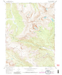
1957 Map of Trail Ridge
USGS Topo · Published 1986About this map
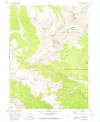
The Mummy Range dominates this high-altitude survey of the Colorado Rockies, featuring the formidable summit of Hagues Peak and the remnant Rowe Glacier. The landscape is defined by the engineering feat of Trail Ridge Road, which winds past dramatic overlooks like Rainbow Curve and Rock Cut, providing access to the park's interior. This map documents a period of active recreation and management within Rocky Mountain National Park, showing the early footprint of the Hidden Valley Winter Use Area with its Ski Lift and facilities. For those studying the history of park infrastructure, the map details the location of several Patrol Cabins and the Toll Memorial. Waterways like the Fall River create a series of landmarks including Chasm Falls and Horseshoe Falls, while the Ute Trail preserves a historic travel corridor across the tundra near Iceberg Pass.
Find a feature on this map
66 named features on this map. Tap any name to fly to it.
Don’t see what you’re looking for? This feature index may not catch every label — zoom into the map to look around manually.
Map Details
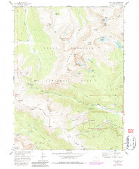
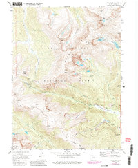
Editions of this 1957 Trail Ridge Map
8 editions found
Other maps of this area

1915 · Longs Peak
USGS Topo · 1:125,000

1916 · Home
USGS Topo · 1:125,000

1919 · Rocky Mountain National Park
USGS Topo · 1:125,000

1920 · Home
USGS Topo · 1:125,000

1954 · Greeley
USGS Topo · 1:250,000

1957 · Greeley
USGS Topo · 1:250,000

1957 · Mc Henrys Peak
USGS Topo · 1:24,000

1957 · Trail Ridge
USGS Topo · 1:24,000

1957 · Longs Peak
USGS Topo · 1:24,000

1957 · Estes Park
USGS Topo · 1:24,000