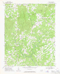
1968 Map of Traphill
USGS Topo · Published 1971About this map
Greenstreets Mountain dominates the center of this landscape, dividing the waters of Roaring River and Carters Creek in northwestern Wilkes County. In the late 1960s, the area remained a network of rural communities, where small settlements like Traphill and Abshers were anchored by an exceptionally high density of local churches. These centers of community life, including Christian Home Ch and New Covenant Ch, are scattered across the winding ridgelines and creek valleys, often connected by narrow routes like Abshers Road and Church Road.
Find a feature on this map
59 named features on this map. Tap any name to fly to it.
Don’t see what you’re looking for? This feature index may not catch every label — zoom into the map to look around manually.
Map Details
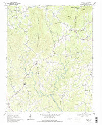
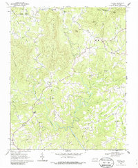
Editions of this 1968 Traphill Map
3 editions found
Other maps of this area

1889 · Wilkesboro
USGS Topo · 1:125,000

1891 · Wilkesboro
USGS Topo · 1:125,000

1891 · Yadkinville
USGS Topo · 1:125,000

1893 · Yadkinville
USGS Topo · 1:125,000

1953 · Winston-Salem
USGS Topo · 1:250,000

1955 · Winston-Salem
USGS Topo · 1:250,000

1962 · Winston-Salem
USGS Topo · 1:250,000

1966 · Roaring River
USGS Topo · 1:24,000

1966 · Wilkesboro
USGS Topo · 1:24,000
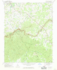
1968 · Glade Valley
USGS Topo · 1:24,000