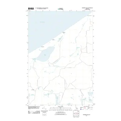
2011 Map of Trappers Lake
USGS Topo · Published 2011About this map
Pictured Rocks Natl Lakeshore meets the southern shore of Lake Superior in this specialized corner of Michigan’s Upper Peninsula. The landscape is defined by its coastal hydrology, where Sevenmile Creek and Beaver Creek drain through a series of interior basins including Beaver Lake, Trappers Lake, and Sevenmile Lake. This network of water bodies and the expansive Twelvemile Beach highlight a region managed for conservation and recreation, evidenced by the presence of the Sevenmile Campground, Pine Bluff Campground, and Beaver Creek Campground. Further inland, the terrain rises toward the Buck Hill Lookout Tower, a site historically critical for forest fire detection. The map details a labyrinth of seasonal and forest roads, such as Twin Lake Truck Trl and Adams Trl, which provide the only access through this densely forested and lacustrine environment.
Find a feature on this map
36 named features on this map. Tap any name to fly to it.
Don’t see what you’re looking for? This feature index may not catch every label — zoom into the map to look around manually.
Map Details
Editions of this 2011 Trappers Lake Map
This is the sole edition of this map. No revisions or reprints were ever made.
Other maps of this area

1931 · Shingleton NE
USGS Topo · 1:31,680

1931 · Driggs Lake NW
USGS Topo · 1:31,680

1958 · Shingleton
USGS Topo · 1:62,500

1958 · Grand Portal Point
USGS Topo · 1:62,500

1958 · Marquette
USGS Topo · 1:250,000

1960 · Marquette
USGS Topo · 1:250,000

1961 · Marquette
USGS Topo · 1:250,000
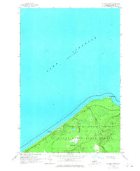
1966 · Au Sable Point
USGS Topo · 1:24,000
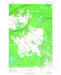
1966 · Au Sable Point SW
USGS Topo · 1:24,000

1968 · Marquette
USGS Topo · 1:250,000