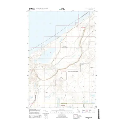
2014 Map of Trappers Lake
USGS Topo · Published 2014About this map
Pictured Rocks National Lakeshore dominates this Upper Peninsula landscape, preserving a stretch of shoreline where the northern forests meet Lake Superior. The terrain is defined by an intricate network of inland water bodies, including Beaver Lake and Little Beaver Lake, which drain toward the coast via Beaver Cr. Hikers following the N Country National Scenic Trail traverse the dunes and ridges near Twelvemile Beach, a prominent landmark along the lakefront. South of the park boundary, the landscape transitions across the Alger Co Schoolcraft Co line into a dense region of smaller lakes such as Legion Lake and Buck Lake. This 2014 survey documents the modern layout of backcountry routes like Adams Trl and Twin Lake Truck Trl, which provide access through the timbered sections of the Hiawatha Township interior.
Find a feature on this map
40 named features on this map. Tap any name to fly to it.
Don’t see what you’re looking for? This feature index may not catch every label — zoom into the map to look around manually.
Map Details
Editions of this 2014 Trappers Lake Map
This is the sole edition of this map. No revisions or reprints were ever made.
Other maps of this area

1931 · Shingleton NE
USGS Topo · 1:31,680

1931 · Driggs Lake NW
USGS Topo · 1:31,680

1958 · Shingleton
USGS Topo · 1:62,500

1958 · Grand Portal Point
USGS Topo · 1:62,500

1958 · Marquette
USGS Topo · 1:250,000

1960 · Marquette
USGS Topo · 1:250,000

1961 · Marquette
USGS Topo · 1:250,000
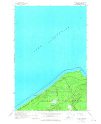
1966 · Au Sable Point
USGS Topo · 1:24,000
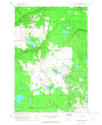
1966 · Au Sable Point SW
USGS Topo · 1:24,000

1968 · Marquette
USGS Topo · 1:250,000