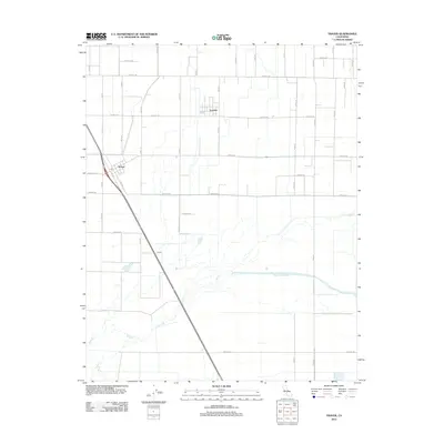
2012 Map of Traver
USGS Topo · Published 2012About this map
London and Traver anchor this agricultural landscape in Tulare County, where the rigid geometry of the Central Valley's road grid meets the wandering channels of the Saint Johns River. The map illustrates a highly organized rural infrastructure, defined by a network of numbered thoroughfares such as Avenue 388 and Road 60. The settlement of Traver is centered near the intersection of 6th St and Burke Dr, marked by a local Post Office.
Find a feature on this map
35 named features on this map. Tap any name to fly to it.
Don’t see what you’re looking for? This feature index may not catch every label — zoom into the map to look around manually.
Map Details
Editions of this 2012 Traver Map
This is the sole edition of this map. No revisions or reprints were ever made.
Other maps of this area

1922 · Trimmer
USGS Topo · 1:96,000

1923 · Sultana
USGS Topo · 1:31,680

1924 · Reedley
USGS Topo · 1:31,680

1924 · Selma
USGS Topo · 1:31,680

1924 · Dinuba
USGS Topo · 1:125,000

1926 · Goshen
USGS Topo · 1:31,680

1926 · Burris Park
USGS Topo · 1:31,680

1927 · Traver
USGS Topo · 1:31,680

1927 · Monson
USGS Topo · 1:31,680

1927 · Remnoy
USGS Topo · 1:31,680