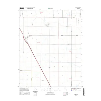
2015 Map of Traver
USGS Topo · Published 2015About this map
The San Joaquin Valley landscape near the boundary of Kings Co and Tulare Co is defined by an intricate network of irrigation infrastructure and rural settlements. The community of London sits at the northern end of this agricultural grid, while the town of Traver is positioned along a major diagonal thoroughfare to the southwest. The area is heavily marked by man-made waterways like the Traver Canal, Kennedy School House Ditch, and King Ditch, which redirect water across the flat valley floor to support the region's intensive farming operations.
Find a feature on this map
58 named features on this map. Tap any name to fly to it.
Don’t see what you’re looking for? This feature index may not catch every label — zoom into the map to look around manually.
Map Details
Editions of this 2015 Traver Map
This is the sole edition of this map. No revisions or reprints were ever made.
Other maps of this area

1922 · Trimmer
USGS Topo · 1:96,000

1923 · Sultana
USGS Topo · 1:31,680

1924 · Reedley
USGS Topo · 1:31,680

1924 · Selma
USGS Topo · 1:31,680

1924 · Dinuba
USGS Topo · 1:125,000

1926 · Goshen
USGS Topo · 1:31,680

1926 · Burris Park
USGS Topo · 1:31,680

1927 · Traver
USGS Topo · 1:31,680

1927 · Monson
USGS Topo · 1:31,680

1927 · Remnoy
USGS Topo · 1:31,680