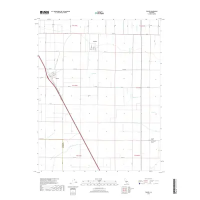
2018 Map of Traver
USGS Topo · Published 2018About this map
The Central Valley landscape around the settlements of London and Traver is defined by a complex network of man-made irrigation channels and natural watercourses. Positioned within the San Joaquin Valley, the terrain is etched with vital agricultural infrastructure such as the Kennedy School House Ditch, Traver Canal, and King Ditch. These waterways reflect the region's intensive land use and reliance on water management for productivity. Natural features like the Saint Johns River and Cottonwood Cr wind through the grid of county roads, including Co HWY j38 and Co HWY j34. The boundary between Kings Co and Tulare Co marks the western edge of this survey, where the seasonal flows of Cross Cr and E Br Cross Cr converge. The strictly organized road system, from Elkhorn Ave to Excelsior Ave, illustrates the systematic development typical of this fertile California interior.
Find a feature on this map
43 named features on this map. Tap any name to fly to it.
Don’t see what you’re looking for? This feature index may not catch every label — zoom into the map to look around manually.
Map Details
Editions of this 2018 Traver Map
This is the sole edition of this map. No revisions or reprints were ever made.
Other maps of this area

1922 · Trimmer
USGS Topo · 1:96,000

1923 · Sultana
USGS Topo · 1:31,680

1924 · Reedley
USGS Topo · 1:31,680

1924 · Selma
USGS Topo · 1:31,680

1924 · Dinuba
USGS Topo · 1:125,000

1926 · Goshen
USGS Topo · 1:31,680

1926 · Burris Park
USGS Topo · 1:31,680

1927 · Traver
USGS Topo · 1:31,680

1927 · Monson
USGS Topo · 1:31,680

1927 · Remnoy
USGS Topo · 1:31,680