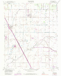
1949 Map of Traver
USGS Topo · Published 1986About this map
Traver and the nearby community of London serve as the primary hubs in this mid-century agricultural landscape of the San Joaquin Valley. The terrain is defined by an intricate network of irrigation works, including the Mcclanahan Ditch, Traver Canal, and School House Ditch, which redirect water toward cultivated fields across the Kings and Tulare County line. The Southern Pacific railroad runs diagonally through the quadrangle, passing through the heart of Traver and paralleling the primary highway, marking the critical transit corridor for the region's produce.
Find a feature on this map
26 named features on this map. Tap any name to fly to it.
Don’t see what you’re looking for? This feature index may not catch every label — zoom into the map to look around manually.
Map Details
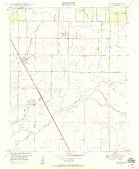
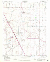
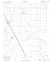
Editions of this 1949 Traver Map
4 editions found
Other maps of this area

1922 · Trimmer
USGS Topo · 1:96,000

1923 · Sultana
USGS Topo · 1:31,680

1924 · Reedley
USGS Topo · 1:31,680

1924 · Selma
USGS Topo · 1:31,680

1924 · Dinuba
USGS Topo · 1:125,000

1926 · Goshen
USGS Topo · 1:31,680

1926 · Burris Park
USGS Topo · 1:31,680

1927 · Traver
USGS Topo · 1:31,680

1927 · Monson
USGS Topo · 1:31,680

1927 · Remnoy
USGS Topo · 1:31,680