1950 Map of Traver
USGS Topo · Published 1950About this map
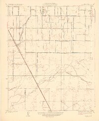
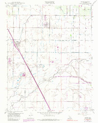
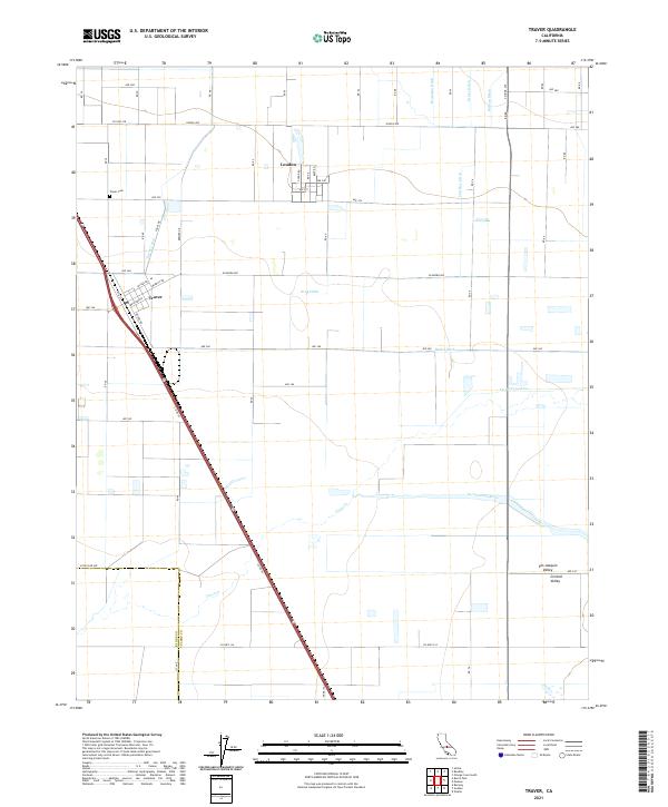
Agricultural development and water management dominate this Central Valley landscape, where the Southern Pacific railroad cuts a diagonal path through the settlement of Traver. The map illustrates a complex network of irrigation and drainage essential to the region's farms, including the Traver Canal, Mc Clanahan Ditch, and Kennedy Waste Way. These man-made channels intersect with natural waterways like Cross Creek and the St Johns River, which is flanked by a Levee system to control seasonal flows. To the north, the small community of London sits organized on a grid, while landmarks like the Tulare Duck Club and Wilson Sch punctuate the rural sections. The boundary between Kings County and Tulare County is clearly delineated, showing how political lines and irrigation districts like the Settlers Ditch overlay the San Joaquin Valley's alluvial plains.
Find a feature on this map
31 named features on this map. Tap any name to fly to it.
Don’t see what you’re looking for? This feature index may not catch every label — zoom into the map to look around manually.
Map Details
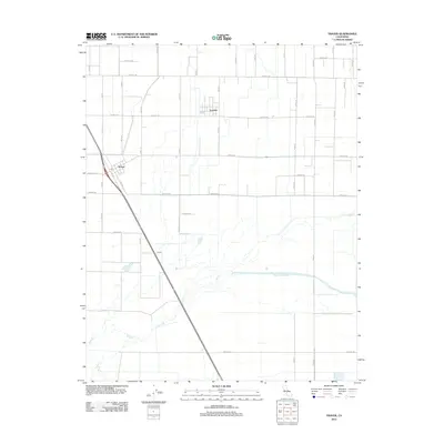
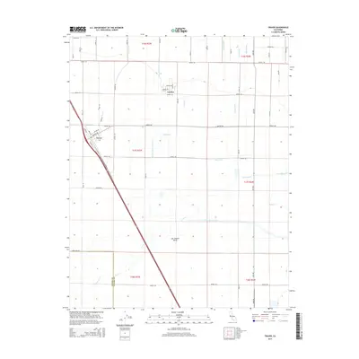
Editions of this 1950 Traver Map
This is the sole edition of this map. No revisions or reprints were ever made.
Historical Maps of London Through Time
7 maps found