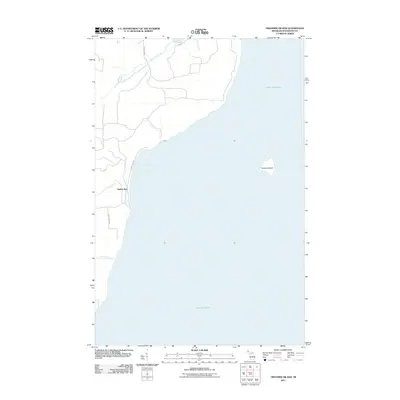
2011 Map of Traverse Island
USGS Topo · Published 2011About this map
Traverse Island sits prominently in the waters of Lake Superior off the Keweenaw Peninsula, anchoring this coastal survey from the early 21st century. The shoreline is defined by the small settlement of Rabbit Bay, where the local road network, including Rabbit Bay Rd and Gaspard Rd, connects sparse residential developments to the surrounding timberlands. The hydrology of the area is characterized by short, direct drainage systems such as Lahti Creek and Le Chance Creek that empty into the bay. Further inland, the presence of Mud Lake and its associated Mud Lake Creek suggests a low-lying, wetland environment typical of the northern Michigan woods. This map captures a quiet coastal community where the transition from the State Forest Rd to the rocky shoreline of the Great Lakes remains largely undisturbed.
Find a feature on this map
11 named features on this map. Tap any name to fly to it.
Don’t see what you’re looking for? This feature index may not catch every label — zoom into the map to look around manually.
Map Details
Editions of this 2011 Traverse Island Map
This is the sole edition of this map. No revisions or reprints were ever made.
Other maps of this area

1938 · Gay
USGS Topo · 1:31,680

1946 · Laurium
USGS Topo · 1:24,000

1948 · Laurium
USGS Topo · 1:24,000

1954 · Traverse Island
USGS Topo · 1:24,000
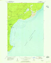
1954 · Gay
USGS Topo · 1:24,000
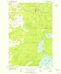
1954 · Rice Lake
USGS Topo · 1:24,000

1954 · Skanee
USGS Topo · 1:62,500

1954 · Keweenaw Bay
USGS Topo · 1:62,500

1954 · Point Mills
USGS Topo · 1:24,000

1958 · Hancock
USGS Topo · 1:250,000