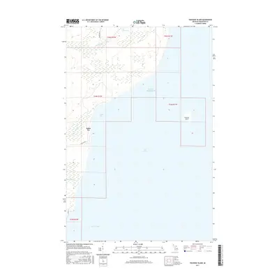
2017 Map of Traverse Island
USGS Topo · Published 2017About this map
Traverse Island sits prominently in the waters of Lake Superior off the eastern coast of the Keweenaw Peninsula, characterizing this remote shoreline during the late 2010s. The landscape is defined by the transition from the upland woods of the Copper Country down to the cold waters of Rabbit Bay and Keweenaw Bay. Inland, the terrain is marked by significant wetlands and small drainages like Mud Lake Cr and Lahti Cr, which flow through heavily forested sections before reaching the lake.
Find a feature on this map
16 named features on this map. Tap any name to fly to it.
Don’t see what you’re looking for? This feature index may not catch every label — zoom into the map to look around manually.
Map Details
Editions of this 2017 Traverse Island Map
This is the sole edition of this map. No revisions or reprints were ever made.
Other maps of this area

1938 · Gay
USGS Topo · 1:31,680

1946 · Laurium
USGS Topo · 1:24,000

1948 · Laurium
USGS Topo · 1:24,000

1954 · Traverse Island
USGS Topo · 1:24,000
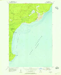
1954 · Gay
USGS Topo · 1:24,000
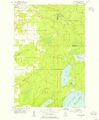
1954 · Rice Lake
USGS Topo · 1:24,000

1954 · Skanee
USGS Topo · 1:62,500

1954 · Keweenaw Bay
USGS Topo · 1:62,500

1954 · Point Mills
USGS Topo · 1:24,000

1958 · Hancock
USGS Topo · 1:250,000